File:Ukraine license plate codes.png
Jump to navigation
Jump to search

Size of this preview: 800 × 559 pixels. Other resolutions: 320 × 224 pixels | 640 × 447 pixels | 1,024 × 715 pixels | 1,181 × 825 pixels.
Original file (1,181 × 825 pixels, file size: 49 KB, MIME type: image/png)
Captions
Captions
Add a one-line explanation of what this file represents
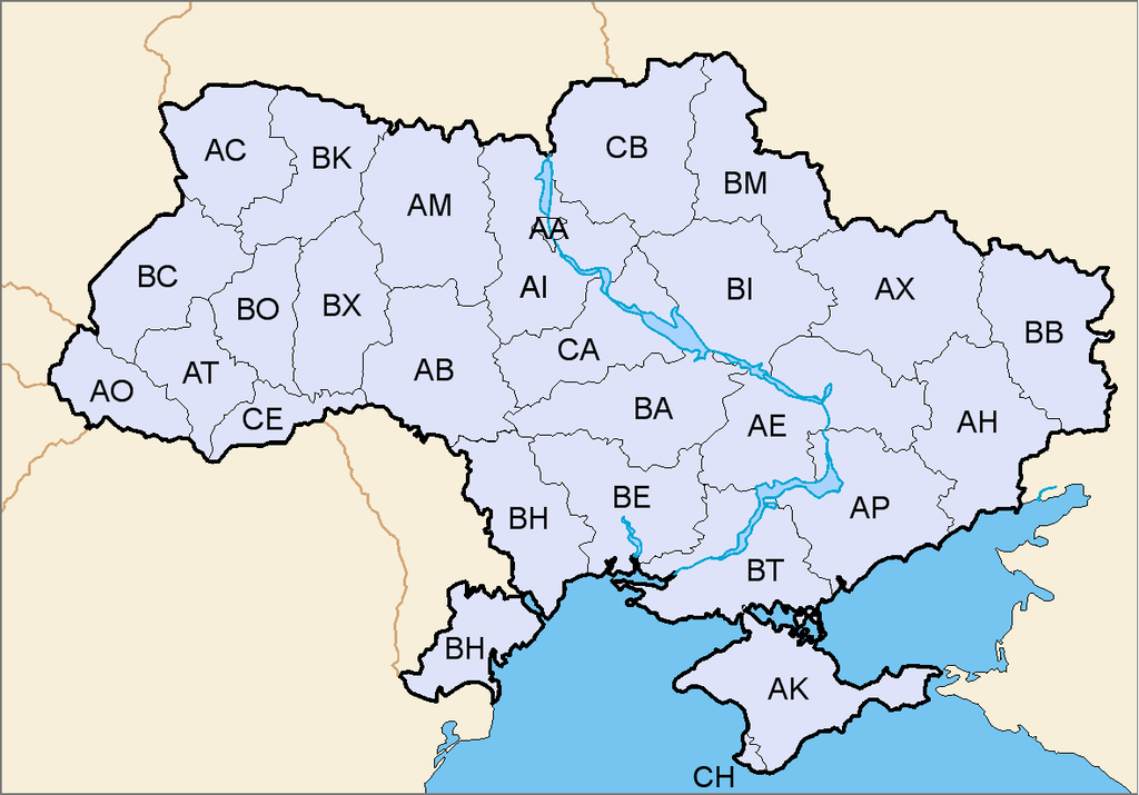
| Description | Map of license plate codes of Ukraine |
| Date | (UTC) |
| Source | |
| Author |
|
| This is a retouched picture, which means that it has been digitally altered from its original version. Modifications: added license plate codes. The original can be viewed here: Map of Ukraine simple blank.png:
|
I, the copyright holder of this work, hereby publish it under the following license:

|
Permission is granted to copy, distribute and/or modify this document under the terms of the GNU Free Documentation License, Version 1.2 or any later version published by the Free Software Foundation; with no Invariant Sections, no Front-Cover Texts, and no Back-Cover Texts. A copy of the license is included in the section entitled GNU Free Documentation License. |
| This file is licensed under the Creative Commons Attribution-Share Alike 3.0 Unported license. | ||
| ||
| This licensing tag was added to this file as part of the GFDL licensing update. |
Original upload log
[edit]
This image is a derivative work of the following images:
- Image:Map_of_Ukraine_simple_blank.png licensed with GFDL
Uploaded with derivativeFX
File history
Click on a date/time to view the file as it appeared at that time.
| Date/Time | Thumbnail | Dimensions | User | Comment | |
|---|---|---|---|---|---|
| current | 10:11, 7 May 2014 | | 1,181 × 825 (49 KB) | Matma Rex (talk | contribs) | Reverted to version as of 13:54, 3 March 2014, very low-quality edit, disputed correctness especially in context of place codes map |
| 21:13, 23 April 2014 |  | 1,181 × 825 (70 KB) | Kolya781 (talk | contribs) | Без Крыма и Севастополя | |
| 13:54, 3 March 2014 |  | 1,181 × 825 (49 KB) | Artemco (talk | contribs) | Киев и Севастополь | |
| 10:10, 13 September 2008 |  | 1,181 × 825 (73 KB) | TheFlyingDutchman (talk | contribs) | {{Information |Description=Map of license plate codes of Ukraine |Source=*Image:Map_of_Ukraine_simple_blank.png |Date=2008-09-13 10:09 (UTC) |Author=*derivative work: ~~~ *Image:Map_of_Ukraine_simple_blank.png: ickis |Permission |
You cannot overwrite this file.
File usage on Commons
There are no pages that use this file.
File usage on other wikis
The following other wikis use this file:
- Usage on cs.wikipedia.org
- Usage on de.wikipedia.org
- Usage on el.wikipedia.org
- Usage on lt.wikipedia.org
- Usage on nl.wikipedia.org
- Usage on pl.wikipedia.org
- Usage on ro.wikipedia.org