File:Uganda; Ripon Falls (WOMAT-AFR-BEA-276).jpg
Jump to navigation
Jump to search

Size of this preview: 522 × 600 pixels. Other resolutions: 209 × 240 pixels | 418 × 480 pixels | 669 × 768 pixels | 892 × 1,024 pixels | 1,783 × 2,048 pixels | 6,463 × 7,423 pixels.
Original file (6,463 × 7,423 pixels, file size: 26.18 MB, MIME type: image/jpeg)
Captions
Captions
Add a one-line explanation of what this file represents
Summary
[edit]| Title |
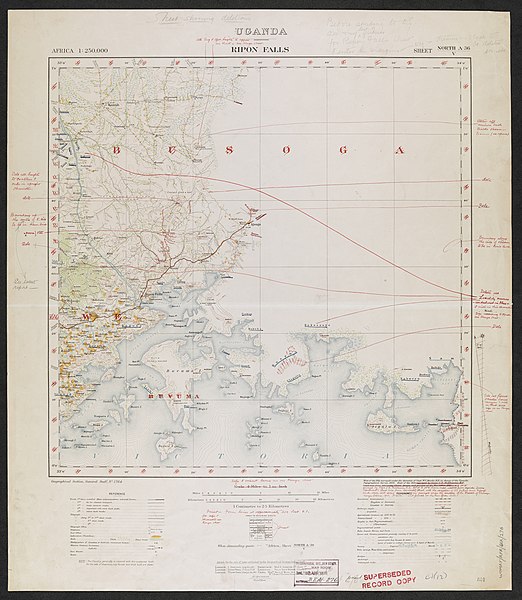
'Uganda; Ripon Falls, Sheet N - A-36/V. (Recompilation for Revision).' - War Office ledger, which also gives 'M.I.4. Draftsman' as author. |
|||||||||
| Description |
The base map is sheet North A-36/V of GSGS 1764 covering a region in the south-eastern portion of Uganda Protectorate. The map is marked up with amendments (chiefly deletions) prior to revision and printing.. |
|||||||||
| British Library Shelfmark | WOMAT/AFR/BEA/276 | |||||||||
| Locations Depicted | Ripon Falls, Uganda | |||||||||
| Centre Point Coordinates | 0.5000,33.5000 | |||||||||
| Date | ||||||||||
| Source |
|
|||||||||
| Creator |
Unspecified |
|||||||||
| Permission (Reusing this file) |
|
|||||||||
| Geotemporal data | ||||||||||
| Map location | British East Africa | |||||||||
| Scale | 1:250,000 | |||||||||
| Bounding box |
|
|||||||||
| Georeferencing | ||||||||||
| Archival data | ||||||||||
| Collection | ||||||||||
| Dimensions | 65 x 56cm | |||||||||
| Medium | Printed on paper, with manuscript additions in pencil and coloured ink | |||||||||
| Notes | For more information please see the British Library’s Collection Guide to the War Office Archive. | |||||||||

_(St_Edwards_Crown).svg)

.jpg&action=edit§ion=1)
File history
Click on a date/time to view the file as it appeared at that time.
| Date/Time | Thumbnail | Dimensions | User | Comment | |
|---|---|---|---|---|---|
| current | 11:28, 24 November 2015 | | 6,463 × 7,423 (26.18 MB) | Ndalyrose (talk | contribs) | GWToolset: Creating mediafile for Ndalyrose. |
You cannot overwrite this file.
File usage on Commons
There are no pages that use this file.
.jpg&oldid=903570049)