File:Ubootshandbuch der Ostküste der Vereinigten Staaten von Nordamerika, Nördlicher Teil (Atlas). LOC 2010592347-1.jpg
Jump to navigation
Jump to search

Size of this preview: 431 × 599 pixels. Other resolutions: 173 × 240 pixels | 345 × 480 pixels | 553 × 768 pixels | 737 × 1,024 pixels | 1,474 × 2,048 pixels | 5,053 × 7,020 pixels.
Original file (5,053 × 7,020 pixels, file size: 3.32 MB, MIME type: image/jpeg)
Captions
Captions
Add a one-line explanation of what this file represents
Summary
[edit]| Description |
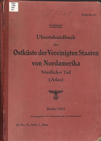
English: Depths shown by contours and soundings. Phillips, 10508 "Geheim!" "Prüf = Nr. 93." "M. Dv. Nr. 860, 1, Atlas." Includes index map. Available also through the Library of Congress Web site as a raster image. |
||
| Title | Ubootshandbuch der Ostküste der Vereinigten Staaten von Nordamerika, Nördlicher Teil (Atlas). | ||
| Shelf ID | G1209.32.C6C2 G4 1943 | ||
| Parent | https://www.loc.gov/resource/g370932cm.gct00203/ | ||
| Sheet title | Front Cover | ||
| Date | |||
| Source | https://www.loc.gov/item/2010592347/ | ||
| Author | Germany. Kriegsmarine. Oberkommando | ||
| Permission (Reusing this file) |
|
||
| Other versions |
|
||
| Location | Atlantic Coast · United States · Germany · Atlantic Ocean | ||
| Part of | Military Battles And Campaigns · American Memory · Catalog · Geography And Map Division | ||
| Subject | Atlantic Ocean · United States · Submarine · Atlantic Coast (U.S.) · Nautical Charts · Campaigns · Maps · Submarines (Ships) · Germany · Naval Operations, German · Bathymetric Maps · Naval Operations · World War · Atlantic Coast · Water Currents |


._LOC_2010592347-1.jpg&action=edit§ion=1)
Licensing
[edit]._LOC_2010592347-1.jpg&action=edit§ion=2)
This work is in the public domain in the United States because it is a work prepared by an officer or employee of the United States Government as part of that person’s official duties under the terms of Title 17, Chapter 1, Section 105 of the US Code.
Note: This only applies to original works of the Federal Government and not to the work of any individual U.S. state, territory, commonwealth, county, municipality, or any other subdivision. This template also does not apply to postage stamp designs published by the United States Postal Service since 1978. (See § 313.6(C)(1) of Compendium of U.S. Copyright Office Practices). It also does not apply to certain US coins; see The US Mint Terms of Use.
|
 | |
| This file has been identified as being free of known restrictions under copyright law, including all related and neighboring rights. | ||
This content comes from historical documents as service regulations ("Dienstvorschrift", "H.Dv.", "L.Dv", "M.Dv." etc.) or maps of the German Armed Forces (Wehrmacht) and its offices. Since these documents are considered official works, the content is in the public domain. Nevertheless, there may be restrictions on use due to other legal provisions (prohibited symbols of the Nazi era). Not all sources correctly state the rights to authorship of the Wehrmacht, sometimes it comes to the intellectual property rights fame (Copyfraud), if the authorship of the Wehrmacht and its legal successors is clearly recognizable and not indicated accordingly.
|
 |
File history
Click on a date/time to view the file as it appeared at that time.
| Date/Time | Thumbnail | Dimensions | User | Comment | |
|---|---|---|---|---|---|
| current | 22:40, 24 August 2018 | | 5,053 × 7,020 (3.32 MB) | Fæ (talk | contribs) | LOC Maps multisheet https://www.loc.gov/item/2010592347/ sheet 1 of 126 #408 |
You cannot overwrite this file.
File usage on Commons
The following page uses this file:
._LOC_2010592347-1.jpg&oldid=786579360)