File:USSR map NP 35-11 Sortavala crop.jpg
Jump to navigation
Jump to search
No higher resolution available.
USSR_map_NP_35-11_Sortavala_crop.jpg (623 × 556 pixels, file size: 302 KB, MIME type: image/jpeg)
Captions
Captions
Add a one-line explanation of what this file represents
| Description |
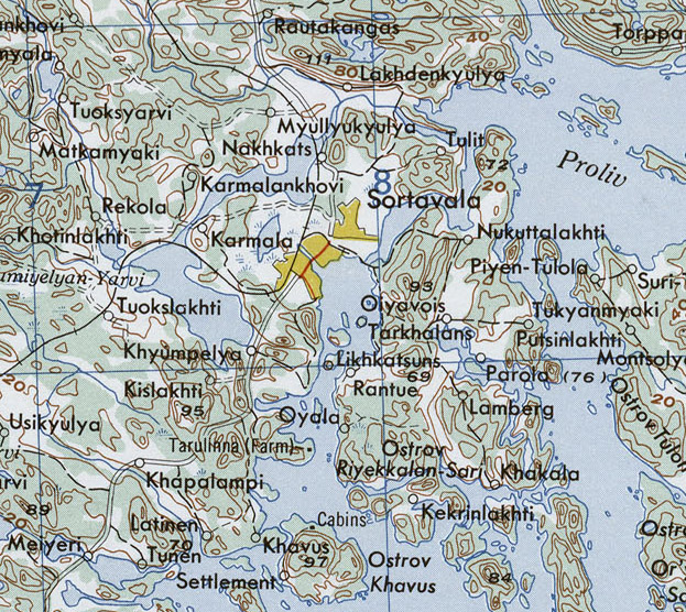
English: Closeup of :Sortavala, on Lake Ladoga, northwest USSR.
Русский: Лист из набора карт Восточной Европы Картографической военной службы США. Серия 501. 1954 |
| Date | (UTC) |
| Source | |
| Author |
|
| This is a retouched picture, which means that it has been digitally altered from its original version. Modifications: Crop Sortavala town. The original can be viewed here: USSR map NP 35-11 Sortavala.jpg:
|
This file is a work of a U.S. Army soldier or employee, taken or made as part of that person's official duties. As a work of the U.S. federal government, it is in the public domain in the United States.
|
 |
Original upload log
[edit]
This image is a derivative work of the following images:
- File:USSR_map_NP_35-11_Sortavala.jpg licensed with PD-USGov-Military-Army
- 2010-09-12T08:06:08Z ShinePhantom 5754x4353 (7674365 Bytes)
Uploaded with derivativeFX
File history
Click on a date/time to view the file as it appeared at that time.
| Date/Time | Thumbnail | Dimensions | User | Comment | |
|---|---|---|---|---|---|
| current | 10:02, 24 November 2010 | | 623 × 556 (302 KB) | Macs24 (talk | contribs) | {{Information |Description={{en|List from Eastern Europe AMS Topographic Maps. Series N501, U.S. Army Map Service, 1954}} {{ru|Лист из набора карт Восточной Европы Картографической военной службы |
You cannot overwrite this file.
File usage on Commons
There are no pages that use this file.
File usage on other wikis
The following other wikis use this file: