File:USA topo.jpg
Jump to navigation
Jump to search
Size of this preview: 800 × 545 pixels. Other resolutions: 320 × 218 pixels | 640 × 436 pixels | 1,024 × 698 pixels | 1,280 × 872 pixels | 2,980 × 2,031 pixels.
Original file (2,980 × 2,031 pixels, file size: 1.83 MB, MIME type: image/jpeg)
Captions
Captions
Add a one-line explanation of what this file represents
Summary
[edit]
| Description |
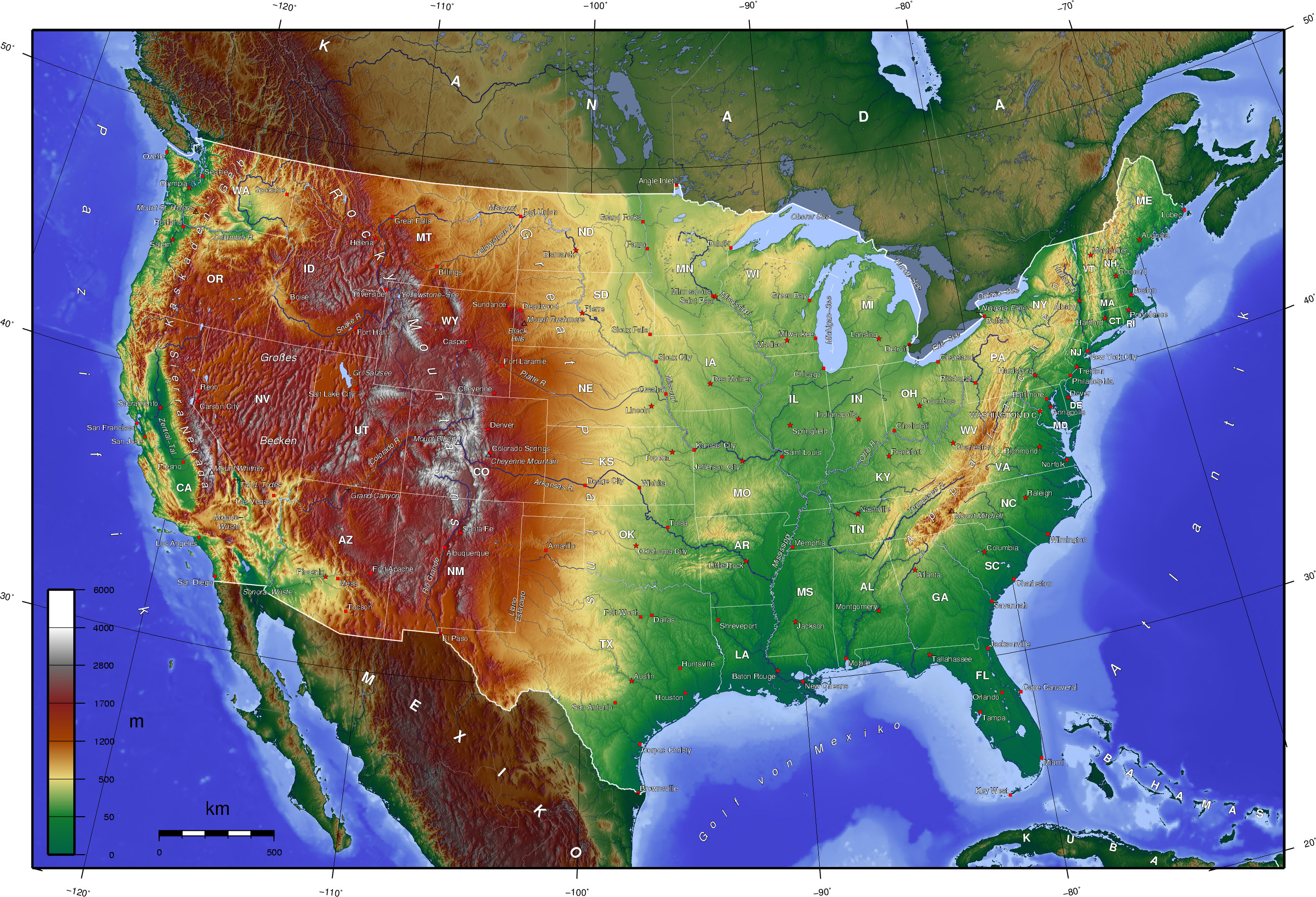
Deutsch: Bei der Erstellung der Landkarte wurden die Generic Mapping Tools verwendet: http://gmt.soest.hawaii.edu/
Für das Relief - falls vorhanden - wurde(n) einer oder mehrere dieser externen Public Domain-Datensätze verwendet:
|
| Date | 6 June 2005 (original upload date) |
| Source | Transferred from de.wikipedia to Commons by Man77 using CommonsHelper. |
| Author | The original uploader was Captain Blood at German Wikipedia. |
| Other versions | en:image:USA_topo_en.jpg |
Licensing
[edit]

|
Permission is granted to copy, distribute and/or modify this document under the terms of the GNU Free Documentation License, Version 1.2 or any later version published by the Free Software Foundation; with no Invariant Sections, no Front-Cover Texts, and no Back-Cover Texts. A copy of the license is included in the section entitled GNU Free Documentation License. |
| This file is licensed under the Creative Commons Attribution-Share Alike 3.0 Unported license. | ||
| ||
| This licensing tag was added to this file as part of the GFDL licensing update. |
Original upload log
[edit]
The original description page was here. All following user names refer to de.wikipedia.
- 2005-06-08 19:04 Captain Blood 2980×2031× (1919375 bytes) +Cheyenne Mt
- 2005-06-08 09:51 Captain Blood 2980×2031× (1937401 bytes)
- 2005-06-06 23:21 Captain Blood 2980×2031× (1966087 bytes) {{Bild-GFDL-GMT}}
File history
Click on a date/time to view the file as it appeared at that time.
| Date/Time | Thumbnail | Dimensions | User | Comment | |
|---|---|---|---|---|---|
| current | 12:11, 14 May 2011 | | 2,980 × 2,031 (1.83 MB) | JuTa (talk | contribs) | Reverted to version as of 19:51, 12 May 2011 |
| 12:10, 14 May 2011 |  | 2,980 × 2,031 (1.85 MB) | JuTa (talk | contribs) | second version from de: | |
| 12:08, 14 May 2011 |  | 2,980 × 2,031 (1.88 MB) | JuTa (talk | contribs) | first version from de: | |
| 19:51, 12 May 2011 |  | 2,980 × 2,031 (1.83 MB) | File Upload Bot (Magnus Manske) (talk | contribs) | {{BotMoveToCommons|de.wikipedia|year={{subst:CURRENTYEAR}}|month={{subst:CURRENTMONTHNAME}}|day={{subst:CURRENTDAY}}}} {{Information |Description={{de|{| | Bei der Erstellung der Landkarte wurden die '''Generic Mapping Tools''' verwendet: http://gmt.soe |
You cannot overwrite this file.
File usage on Commons
There are no pages that use this file.