File:USA Counties with names.svg
Jump to navigation
Jump to search

Size of this PNG preview of this SVG file: 555 × 352 pixels. Other resolutions: 320 × 203 pixels | 640 × 406 pixels | 1,024 × 649 pixels | 1,280 × 812 pixels | 2,560 × 1,624 pixels.
Original file (SVG file, nominally 555 × 352 pixels, file size: 1.45 MB)
Captions
Captions
Add a one-line explanation of what this file represents
Summary
[edit]
| Description |
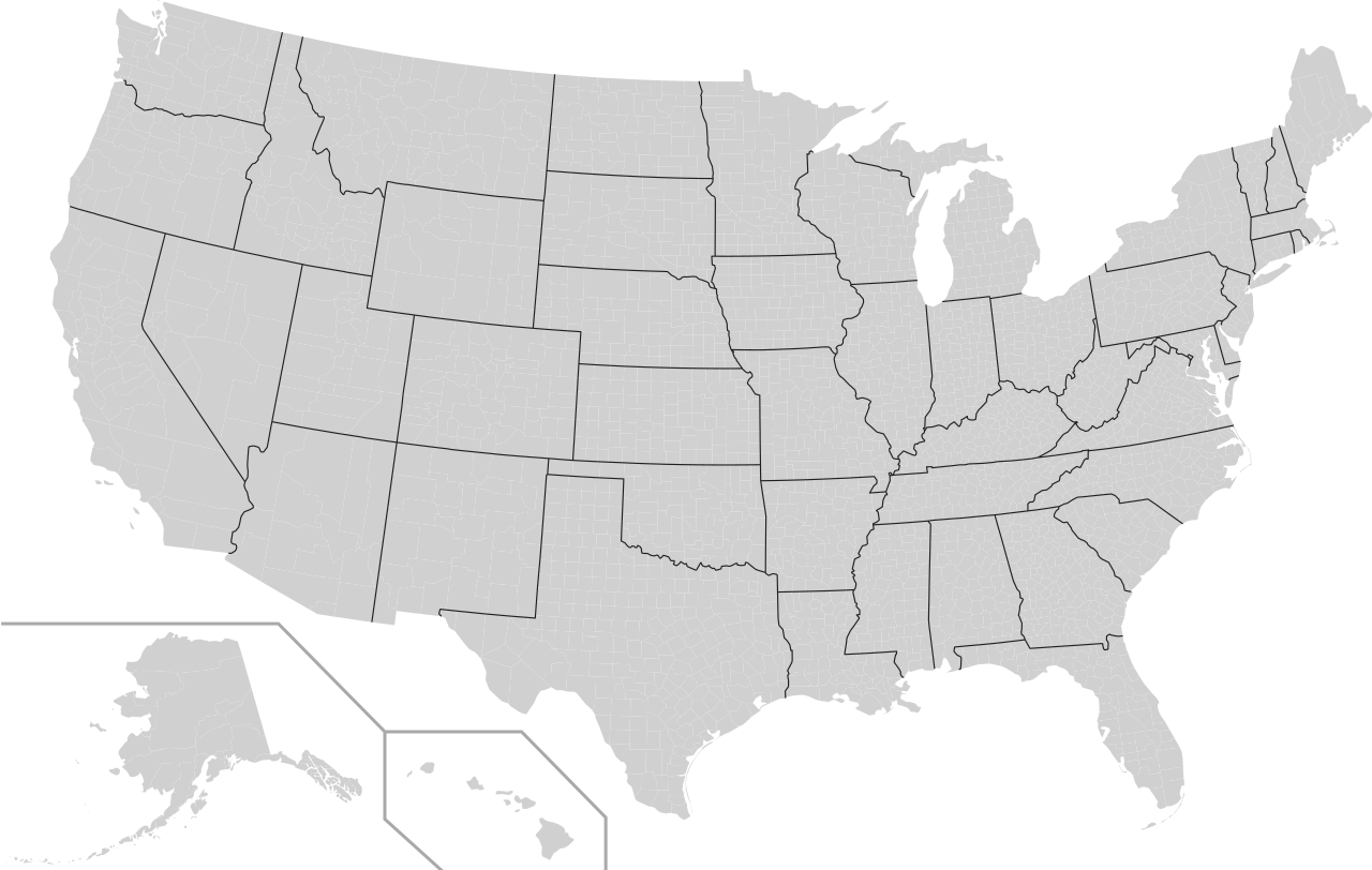
A blank map of United States counties. Every county's object in this SVG has its object name in the form of "XX Name" with "XX" being the state's postal abbreviation, and the "Name" being its name (Apostrophes omitted). Note: To disambiguate from cities and counties that have the same name within a state, some objects may have "_City" or "_Co." respectively appended onto the end of the object name. Examples:
|
| Date | circa. February 1, 2008 |
| Source | Mostly based off of Image:USA Counties.svg, but with black lines between counties removed to save space, and county names as each object's name. Created by me in Inkscape. |
| Author | Mr. Matté (if there is an issue with this image, contact me using this image's Commons talk page, my Commons user talk page, or my English Wikipedia user talk page; I'll know about it a lot faster) |
| Other versions | Derivative works of this file: Admrboltz - county map.svg |
| SVG development |
Licensing
[edit]
| I, the copyright holder of this work, release this work into the public domain. This applies worldwide. In some countries this may not be legally possible; if so: I grant anyone the right to use this work for any purpose, without any conditions, unless such conditions are required by law. |
File history
Click on a date/time to view the file as it appeared at that time.
| Date/Time | Thumbnail | Dimensions | User | Comment | |
|---|---|---|---|---|---|
| current | 03:35, 15 October 2018 | | 555 × 352 (1.45 MB) | Drmccreedy (talk | contribs) | Changed state ids to match convention of using the two letter, lowercase state codes: Maryland (md), Ohio (oh), Rhode_Island (ri), and VA (va). Changed ids: MO_Sainte_Genevieve => MO_Ste._Genevieve; MN_Mille Lacs => MN_Mille_Lacs. |
| 00:51, 9 March 2016 |  | 555 × 352 (1.45 MB) | Mr. Matté (talk | contribs) | Various Alaska, Virginia independent city, South Dakota updates, "La Salle"s to "LaSalle" | |
| 14:56, 14 June 2009 |  | 555 × 352 (1.56 MB) | NuclearVacuum (talk | contribs) | grouped all the counties into their respective states | |
| 01:39, 26 February 2009 |  | 555 × 352 (1.49 MB) | Kbh3rd (talk | contribs) | Corrected 15 county names: San Bernardino, CA; Tuolumne, CA; DeSoto, FL; Dubois, IN; Lac qui Parle, MN; Mille Lacs, MN; Atchison, MO; St. Francois, MO; DeSoto, MS; Forrest, MS; Itawamba, MS; Gaston, NC; LaMoure, ND; Aransas, TX; Uvalde, TX | |
| 22:58, 20 February 2008 |  | 555 × 352 (1.49 MB) | Mr. Matté (talk | contribs) | {{Information |Description=A blank map of United States counties. Every county's object in this SVG has its object name in the form of "xx Name" with "xx" being the state's postal abbreviation, and the "Name" b |
You cannot overwrite this file.
File usage on Commons
The following 2 pages use this file:
.svg)