File:Turośń Kościelna (gmina) location map.png
Jump to navigation
Jump to search
Size of this preview: 507 × 599 pixels. Other resolutions: 203 × 240 pixels | 406 × 480 pixels | 784 × 927 pixels.
Original file (784 × 927 pixels, file size: 216 KB, MIME type: image/png)
Captions
Captions
Add a one-line explanation of what this file represents
| Description |
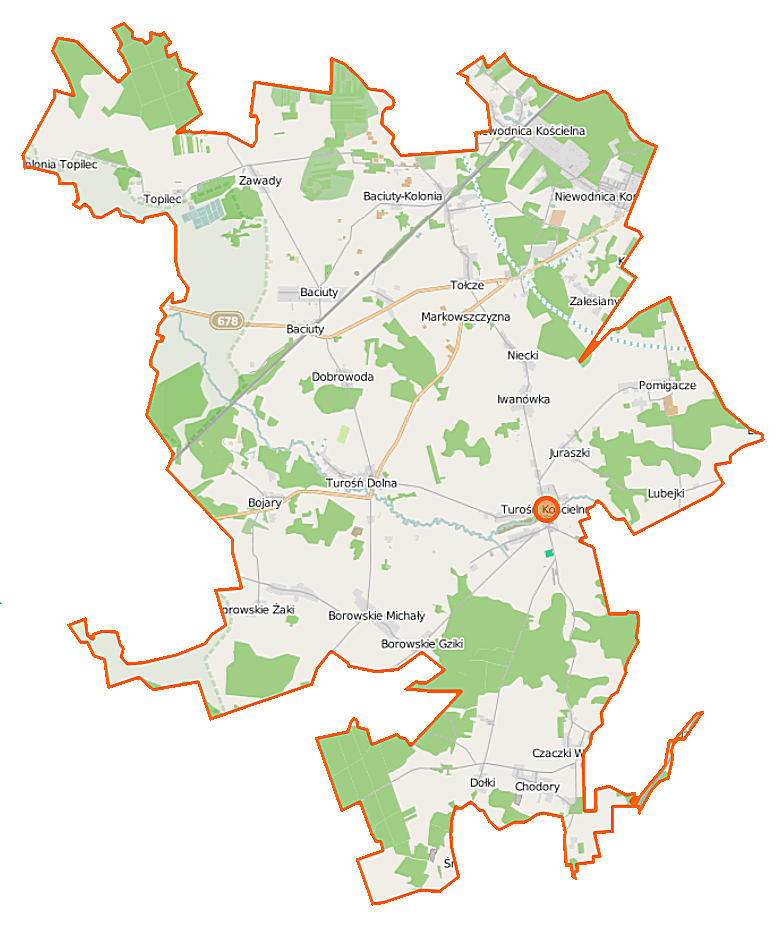
Polski: Mapa gminy Turośń Kościelna, Polska
English: Map of Gmina Turośń Kościelna, Poland |
|||||||||
| Date | ||||||||||
| Source | You may find a page on the OpenStreetMap wiki page for Turośń Kościelna (gmina) | |||||||||
| Creator |
OpenStreetMap contributors OpenStreetMap contributors |
|||||||||
| Permission (Reusing this file) |
OpenStreetMap data is available under the Open Database License (details). Map tiles are licensed under the Creative Commons Attribution-ShareAlike 2.0 license (CC-BY-SA 2.0).
This file is licensed under the Creative Commons Attribution-Share Alike 2.0 Generic license.
|
|||||||||
| Geotemporal data | ||||||||||
| Bounding box |
|
|||||||||
| Georeferencing | If inappropriate please set warp_status = skip to hide. | |||||||||
File history
Click on a date/time to view the file as it appeared at that time.
| Date/Time | Thumbnail | Dimensions | User | Comment | |
|---|---|---|---|---|---|
| current | 08:09, 16 September 2014 | | 784 × 927 (216 KB) | VanWiel (talk | contribs) | {{Information |Description= |Source= |Date= |Author= |Permission= |other_versions= }} |
| 07:58, 5 June 2014 |  | 784 × 927 (262 KB) | VanWiel (talk | contribs) | {{OpenStreetMap | name = Turośń Kościelna (gmina) | location = Turośń Kościelna (gmina) | description = {{pl|Mapa gminy Turośń Kościelna, Polska}} {{en|Map of Gmina Turośń Kościelna, Poland}} | top... |
You cannot overwrite this file.
File usage on Commons
There are no pages that use this file.
File usage on other wikis
The following other wikis use this file:
- Usage on pl.wikipedia.org
- Turośń Kościelna (gmina)
- Baciuty
- Baciuty-Kolonia
- Barszczówka
- Borowskie Cibory
- Borowskie Gziki
- Borowskie Michały
- Borowskie Żaki
- Chodory
- Czaczki Małe
- Czaczki Wielkie
- Dołki (województwo podlaskie)
- Juraszki
- Lubejki
- Markowszczyzna
- Niewodnica Korycka
- Niewodnica Kościelna
- Pomigacze
- Topilec
- Topilec-Kolonia
- Trypucie
- Turośń Dolna
- Turośń Kościelna
- Bojary (województwo podlaskie)
- Niecki (województwo podlaskie)
- Stoczki (województwo podlaskie)
- Zalesiany (województwo podlaskie)
- Dobrowoda (powiat białostocki)
- Iwanówka (powiat białostocki)
- Tołcze (powiat białostocki)
- Zawady (gmina Turośń Kościelna)
- Borowskie Olki
- Borowskie Skórki
- Borowskie Wypychy
- Niewodnica (przystanek kolejowy)
- Trypucie (przystanek kolejowy)
- Bojary (przystanek kolejowy)
- Baciuty (przystanek kolejowy)
- Parafia św. Antoniego Padewskiego w Niewodnicy Kościelnej
- Sanktuarium św. Antoniego Padewskiego w Niewodnicy Kościelnej
- Cerkiew św. Mikołaja Cudotwórcy w Topilcu
- Parafia św. Mikołaja Cudotwórcy w Topilcu
- Kaplica św. Barbary w Baciutach
- Parafia Świętej Trójcy w Turośni Kościelnej
- Lądowisko Turośń Kościelna
- Piećki
- Moduł:Mapa/dane/Turośń Kościelna (gmina)
- Kościół Świętej Trójcy w Turośni Kościelnej
- Ogrodniczki (Stoczki)
- Usage on pl.wikibooks.org
_location_map.png&oldid=498351513)