File:Tu-124 navigation gauges.jpg
From Wikimedia Commons, the free media repository
Jump to navigation
Jump to search
![File:Tu-124 navigation gauges.jpg](https://upload.wikimedia.org/wikipedia/commons/thumb/5/5d/Tu-124_navigation_gauges.jpg/800px-Tu-124_navigation_gauges.jpg?20171018162620)
Size of this preview: 800 × 533 pixels. Other resolutions: 320 × 213 pixels | 640 × 427 pixels | 1,024 × 682 pixels | 1,280 × 853 pixels | 2,560 × 1,706 pixels | 3,847 × 2,564 pixels.
Original file (3,847 × 2,564 pixels, file size: 2.01 MB, MIME type: image/jpeg)
File information
Structured data
Captions
Captions
Add a one-line explanation of what this file represents
Summary
[edit]DescriptionTu-124 navigation gauges.jpg |
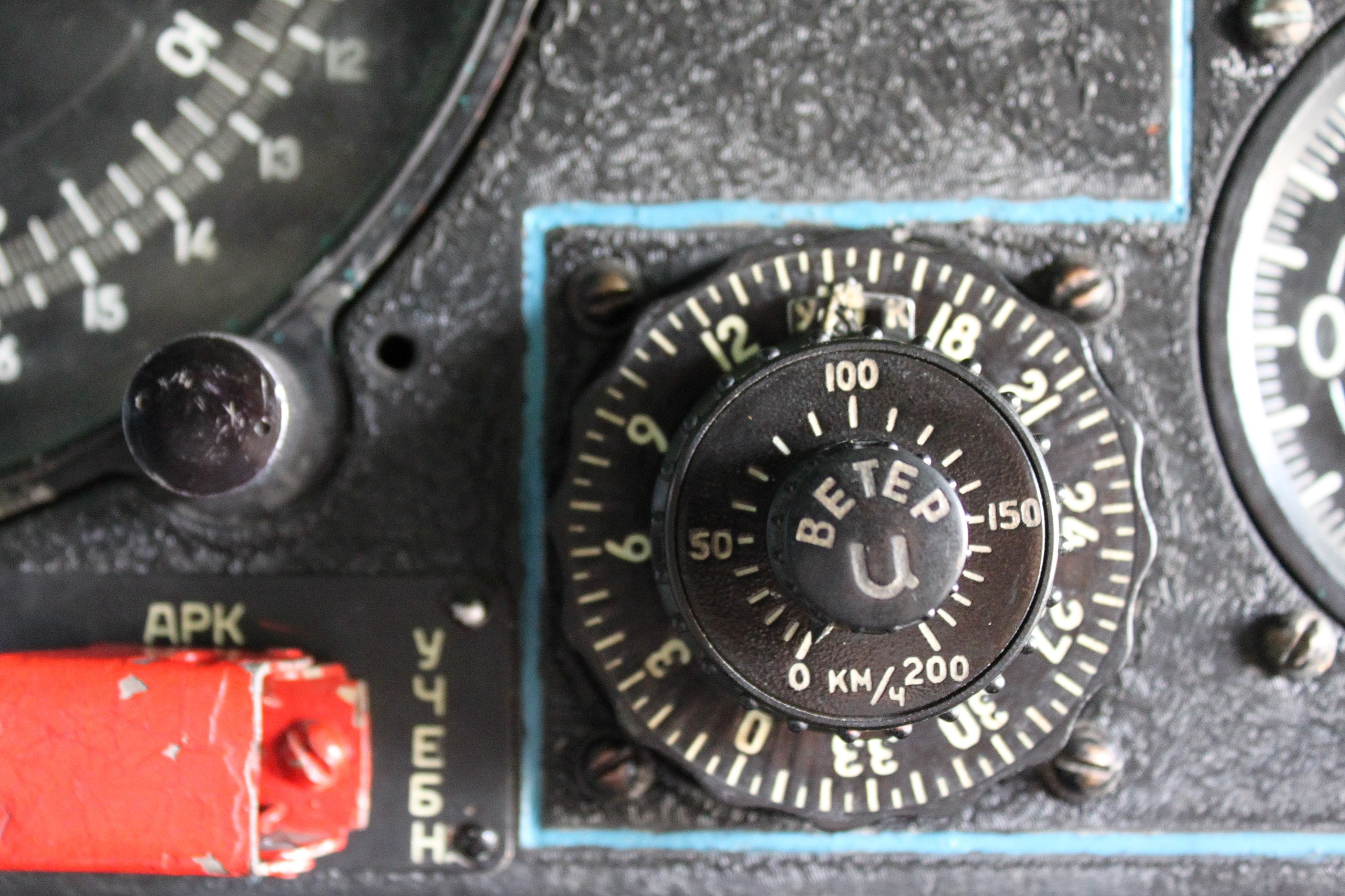
English: Tu-124 navigation gauges. |
||
Date | |||
Source | Flickr: Tu-124 navigation gauges | ||
Author | Vlad Volkov | ||
Permission (Reusing this file) |
![]() ![]() This file is licensed under the Creative Commons Attribution 2.0 Generic license.
|
Camera location | 54° 17′ 25.34″ N, 48° 13′ 58.79″ E ![]() | View this and other nearby images on: OpenStreetMap | ![]() |
---|
File history
Click on a date/time to view the file as it appeared at that time.
Date/Time | Thumbnail | Dimensions | User | Comment | |
---|---|---|---|---|---|
current | 16:26, 18 October 2017 | ![]() | 3,847 × 2,564 (2.01 MB) | VortBot (talk | contribs) | Uploading higher resolution from Flickr |
14:51, 29 January 2011 | ![]() | 1,024 × 682 (370 KB) | Flickr upload bot (talk | contribs) | Uploaded from http://flickr.com/photo/33193154@N00/4894675610 using Flickr upload bot |
You cannot overwrite this file.
File usage on Commons
The following page uses this file:
Metadata
This file contains additional information such as Exif metadata which may have been added by the digital camera, scanner, or software program used to create or digitize it. If the file has been modified from its original state, some details such as the timestamp may not fully reflect those of the original file. The timestamp is only as accurate as the clock in the camera, and it may be completely wrong.
Camera manufacturer | Canon |
---|---|
Camera model | Canon EOS 500D |
Exposure time | 1/15 sec (0.066666666666667) |
F-number | f/5 |
ISO speed rating | 1,600 |
Date and time of data generation | 16:09, 14 August 2010 |
Lens focal length | 40 mm |
Latitude | 54° 17′ 25.34″ N |
Longitude | 48° 13′ 58.79″ E |
Altitude | 103.2 meters above sea level |
Horizontal resolution | 240 dpi |
Vertical resolution | 240 dpi |
File change date and time | 21:20, 15 August 2010 |
Exposure Program | Not defined |
Exif version | 2.21 |
Date and time of digitizing | 16:09, 14 August 2010 |
APEX shutter speed | 3.906891 |
APEX aperture | 4.643856 |
APEX exposure bias | 0 |
Maximum land aperture | 4.625 APEX (f/4.97) |
Metering mode | Pattern |
Flash | Flash did not fire, compulsory flash suppression |
DateTimeOriginal subseconds | 34 |
DateTimeDigitized subseconds | 34 |
Focal plane X resolution | 5,315.4362416107 |
Focal plane Y resolution | 5,342.3271500843 |
Focal plane resolution unit | inches |
Custom image processing | Normal process |
Exposure mode | Auto exposure |
White balance | Auto white balance |
Scene capture type | Standard |
GPS time (atomic clock) | 12:09 |
Geodetic survey data used | WGS-84 |
GPS date | 14 August 2010 |
GPS tag version | 0.0.2.2 |
Width | 3,847 px |
Height | 2,564 px |
Image width | 3,847 px |
Image height | 2,564 px |
Serial number of camera | 530102906 |
Lens used | EF-S18-55mm f/3.5-5.6 IS |
Rating (out of 5) | 4 |
Software used | Adobe Photoshop Lightroom |