File:Trzcianka location map.svg
Jump to navigation
Jump to search

Size of this PNG preview of this SVG file: 787 × 600 pixels. Other resolutions: 315 × 240 pixels | 630 × 480 pixels | 1,008 × 768 pixels | 1,280 × 975 pixels | 2,560 × 1,951 pixels | 1,240 × 945 pixels.
Original file (SVG file, nominally 1,240 × 945 pixels, file size: 635 KB)
Captions
Captions
Add a one-line explanation of what this file represents
| Description |
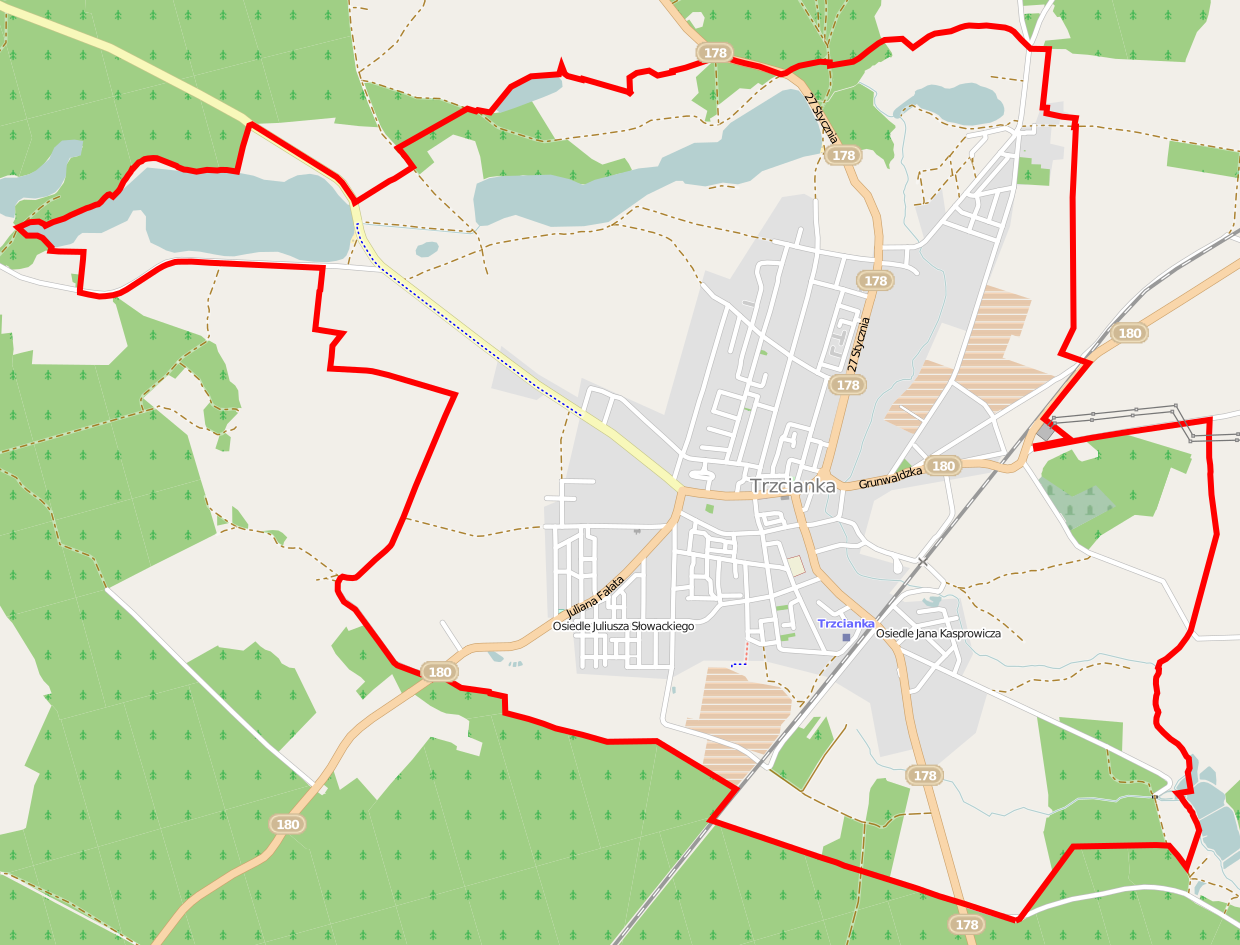
Polski: Mapa Trzcianki, Polska
English: Map of Trzcianka, Poland |
|||||||||
| Date | ||||||||||
| Source | You may find a page on the OpenStreetMap wiki page for Trzcianka | |||||||||
| Creator |
OpenStreetMap contributors OpenStreetMap contributors |
|||||||||
| Permission (Reusing this file) |
OpenStreetMap data is available under the Open Database License (details). Map tiles are licensed under the Creative Commons Attribution-ShareAlike 2.0 license (CC-BY-SA 2.0).
This file is licensed under the Creative Commons Attribution-Share Alike 2.0 Generic license.
|
|||||||||
| Geotemporal data | ||||||||||
| Bounding box |
|
|||||||||
| Georeferencing | If inappropriate please set warp_status = skip to hide. | |||||||||
File history
Click on a date/time to view the file as it appeared at that time.
| Date/Time | Thumbnail | Dimensions | User | Comment | |
|---|---|---|---|---|---|
| current | 05:56, 12 June 2014 | | 1,240 × 945 (635 KB) | ArkadiuszZ (talk | contribs) | {{OpenStreetMap | name = Trzcianka | location = Trzcianka | description = {{pl|Mapa Trzcianki, Polska}} {{en|Map of Trzcianka, Poland}} | top = 53.0666 | left = 16.3950 | right = 16.4991... |
You cannot overwrite this file.
File usage on Commons
There are no pages that use this file.
File usage on other wikis
The following other wikis use this file:
- Usage on fr.wikipedia.org
- Usage on pl.wikipedia.org
- Sarcze (jezioro na Pojezierzu Wałeckim)
- Trzcianka (stacja kolejowa)
- Długie Jezioro (Pojezierze Wałeckie)
- Okunie (jezioro)
- Parafia św. Jana Chrzciciela w Trzciance
- Parafia Matki Bożej Saletyńskiej w Trzciance
- Cmentarz żydowski w Trzciance
- Muzeum Ziemi Nadnoteckiej
- Zbór Kościoła Zielonoświątkowego w Trzciance
- Biblioteka Publiczna i Centrum Kultury im. Kazimiery Iłłakowiczówny w Trzciance
- Biblioteka Pedagogiczna w Trzciance
- Trzcianecki Dom Kultury
- Park pałacowy w Trzciance
- Kościół św. Jana Chrzciciela w Trzciance
- Burmistrzówka w Trzciance
- Lądowisko Trzcianka-Szpital
- Park Ryb Słodkowodnych w Trzciance
- Moduł:Mapa/dane/Trzcianka
- Usage on pl.wikibooks.org
- Usage on pt.wikipedia.org