File:Trees88 (39073630731).jpg
Original file (2,100 × 3,171 pixels, file size: 5.77 MB, MIME type: image/jpeg)
Captions
Summary
[edit]DescriptionTrees88 (39073630731).jpg |
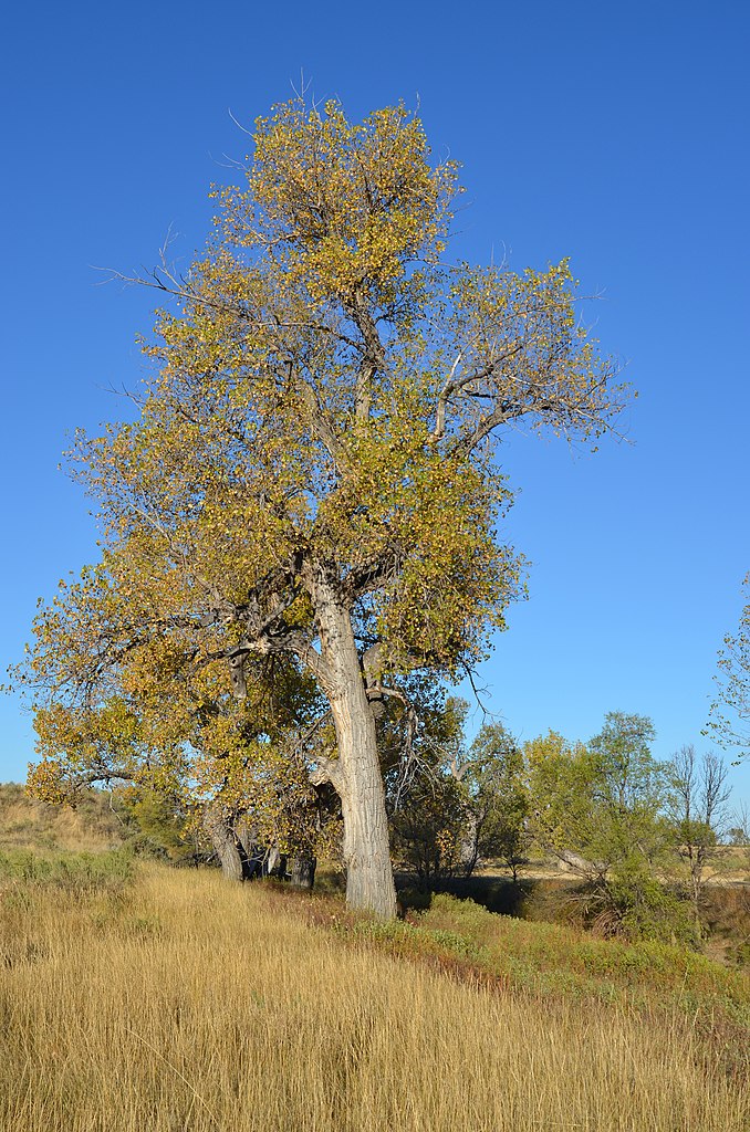
Mature plains cottonwood growing on the upper terrace of an intermittent stream. Location is the Northern Rolling Plains Major Land Resource Area (MLRA) north of Forsyth, MT. Oct. 19, 2011. Public domain.
|
||||||||
Date | |||||||||
Source | Trees88 | ||||||||
Author | USDA NRCS Montana |
Camera location | 46° 29′ 36.85″ N, 107° 00′ 12.05″ W | View this and other nearby images on: OpenStreetMap | 46.493570; -107.003347 |
---|
Licensing
[edit]Public domainPublic domainfalsefalse |
This image or file is a work of a United States Department of Agriculture employee, taken or made as part of that person's official duties. As a work of the U.S. federal government, the image is in the public domain.
English ∙ español ∙ Nederlands ∙ slovenščina ∙ Tiếng Việt ∙ македонски ∙ русский ∙ українська ∙ 日本語 ∙ +/− |
This image was originally posted to Flickr by NRCS Montana at https://flickr.com/photos/160831427@N06/39073630731. It was reviewed on 4 May 2018 by FlickreviewR 2 and was confirmed to be licensed under the terms of the Public Domain Mark. |
4 May 2018
File history
Click on a date/time to view the file as it appeared at that time.
Date/Time | Thumbnail | Dimensions | User | Comment | |
---|---|---|---|---|---|
current | 08:18, 4 May 2018 | 2,100 × 3,171 (5.77 MB) | MechQuester (talk | contribs) | Transferred from Flickr via #flickr2commons |
You cannot overwrite this file.
File usage on Commons
There are no pages that use this file.
Metadata
This file contains additional information such as Exif metadata which may have been added by the digital camera, scanner, or software program used to create or digitize it. If the file has been modified from its original state, some details such as the timestamp may not fully reflect those of the original file. The timestamp is only as accurate as the clock in the camera, and it may be completely wrong.
Camera manufacturer | NIKON CORPORATION |
---|---|
Camera model | NIKON D7000 |
Exposure time | 1/250 sec (0.004) |
F-number | f/8 |
ISO speed rating | 100 |
Date and time of data generation | 07:57, 19 October 2011 |
Lens focal length | 28 mm |
Latitude | 46° 29′ 36.85″ N |
Longitude | 107° 0′ 12.05″ W |
Altitude | 812 meters above sea level |
Author | USDA NRCS |
Image title |
|
Width | 3,264 px |
Height | 4,928 px |
Bits per component |
|
Pixel composition | RGB |
Orientation | Normal |
Number of components | 3 |
Horizontal resolution | 300 dpi |
Vertical resolution | 300 dpi |
Software used | Ver.1.02 |
File change date and time | 08:37, 3 July 2012 |
Y and C positioning | Co-sited |
Exposure Program | Not defined |
Exif version | 2.3 |
Date and time of digitizing | 07:57, 19 October 2011 |
Meaning of each component |
|
Image compression mode | 4 |
APEX shutter speed | 7.965784 |
APEX aperture | 6 |
APEX exposure bias | 0 |
Maximum land aperture | 3.5 APEX (f/3.36) |
Metering mode | Pattern |
Light source | Unknown |
Flash | Flash did not fire, auto mode |
Supported Flashpix version | 1 |
Color space | sRGB |
Sensing method | One-chip color area sensor |
File source | Digital still camera |
Scene type | A directly photographed image |
GPS time (atomic clock) | 14:57 |
Satellites used for measurement | 03 |
Geodetic survey data used | WGS 84 |
Serial number of camera | 3151062 |
Lens used | 28.0-80.0 mm f/3.3-5.6 |
Date metadata was last modified | 08:06, 6 July 2012 |
Unique ID of original document | 1710D721C90C2EEE46177D32DE969E26 |
Copyright status | Copyright status not set |
IIM version | 4 |