File:Tree saplings near Rooksmoor Copse - geograph.org.uk - 222852.jpg
From Wikimedia Commons, the free media repository
Jump to navigation
Jump to search
Tree_saplings_near_Rooksmoor_Copse_-_geograph.org.uk_-_222852.jpg (640 × 480 pixels, file size: 149 KB, MIME type: image/jpeg)
File information
Structured data
Captions
Summary
[edit]DescriptionTree saplings near Rooksmoor Copse - geograph.org.uk - 222852.jpg |
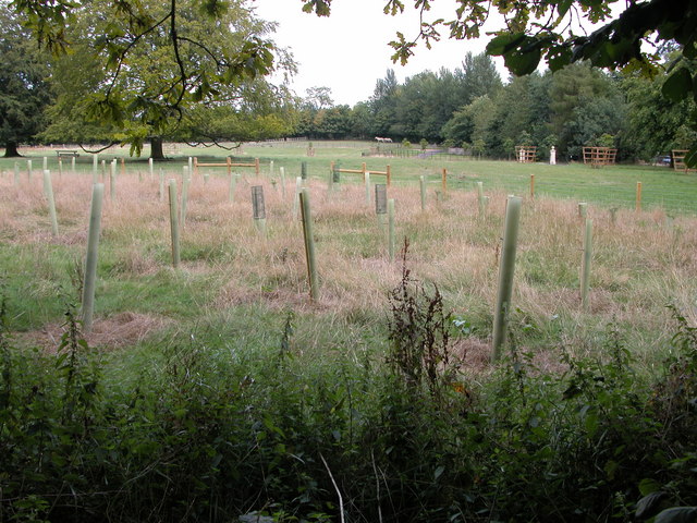
English: Tree saplings near Rooksmoor Copse. This land to the east of the lane and is shown as part of Barnsley Park on the 1940s OS map. |
||
Date | |||
Source | geograph.org.uk | ||
Author | Philip Halling | ||
Permission (Reusing this file) |
This file is licensed under the Creative Commons Attribution-Share Alike 2.0 Generic license. Attribution: Philip Halling
|
||
Attribution (required by the license) InfoField | Philip Halling / Tree saplings near Rooksmoor Copse / | ||
InfoField | Philip Halling / Tree saplings near Rooksmoor Copse |
Camera location | 51° 45′ 14.5″ N, 1° 53′ 42″ W | View this and other nearby images on: OpenStreetMap | 51.754040; -1.894900 |
---|
Object location | 51° 45′ 15.2″ N, 1° 53′ 41″ W | View this and other nearby images on: OpenStreetMap | 51.754220; -1.894600 |
---|
File history
Click on a date/time to view the file as it appeared at that time.
Date/Time | Thumbnail | Dimensions | User | Comment | |
---|---|---|---|---|---|
current | 01:41, 1 February 2010 | 640 × 480 (149 KB) | GeographBot (talk | contribs) | == {{int:filedesc}} == {{Information |description={{en|1=Tree saplings near Rooksmoor Copse. This land to the east of the lane and is shown as part of Barnsley Park on the 1940s OS map.}} |date=2006-08-19 |source=From [http://www.geograph.org.uk/photo/222 |
You cannot overwrite this file.
File usage on Commons
There are no pages that use this file.
Metadata
This file contains additional information such as Exif metadata which may have been added by the digital camera, scanner, or software program used to create or digitize it. If the file has been modified from its original state, some details such as the timestamp may not fully reflect those of the original file. The timestamp is only as accurate as the clock in the camera, and it may be completely wrong.
Camera manufacturer | NIKON |
---|---|
Camera model | E5700 |
Exposure time | 10/1,343 sec (0.007446016381236) |
F-number | f/4.5 |
ISO speed rating | 100 |
Date and time of data generation | 14:46, 19 August 2006 |
Lens focal length | 8.9 mm |
Orientation | Normal |
Horizontal resolution | 300 dpi |
Vertical resolution | 300 dpi |
Software used | E5700v1.1 |
File change date and time | 14:46, 19 August 2006 |
Y and C positioning | Co-sited |
Exposure Program | Normal program |
Exif version | 2.2 |
Date and time of digitizing | 14:46, 19 August 2006 |
Image compression mode | 3 |
APEX exposure bias | 0 |
Maximum land aperture | 3 APEX (f/2.83) |
Metering mode | Pattern |
Light source | Unknown |
Flash | Flash did not fire, compulsory flash suppression |
Color space | sRGB |
Custom image processing | Normal process |
Exposure mode | Auto exposure |
White balance | Auto white balance |
Digital zoom ratio | 0 |
Focal length in 35 mm film | 35 mm |
Scene capture type | Standard |
Contrast | Normal |
Saturation | Normal |
Sharpness | Normal |
Subject distance range | Unknown |
Structured data
Items portrayed in this file
depicts
some value
19 August 2006
51°45'14.54"N, 1°53'41.64"W
51°45'15.19"N, 1°53'40.56"W
0.00744601638123603871 second
4.5
8.9 millimetre
100
image/jpeg
Hidden categories:
- CC-BY-SA-2.0
- Images from Geograph Britain and Ireland
- Images from Geograph Britain and Ireland missing SDC location of creation
- Images from Geograph Britain and Ireland missing SDC geograph.org.uk image ID
- Information field template with formatting
- Files with coordinates missing SDC location of creation (51° N, 2° W)
- Images by Philip Halling
- United Kingdom photographs taken on 2006-08-19