File:Track to Battlesden - geograph.org.uk - 370601.jpg
Jump to navigation
Jump to search
No higher resolution available.
Track_to_Battlesden_-_geograph.org.uk_-_370601.jpg (640 × 480 pixels, file size: 200 KB, MIME type: image/jpeg)
Captions
Captions
Add a one-line explanation of what this file represents
Summary
[edit]
| Description |
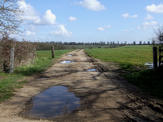
English: Track to Battlesden In 1928 the parishes of 370576 and 183068 were merged. The former church is in the northwestern corner and the latter in the southeastern corner of this same gridsquare. Surprisingly, this track is the only direct link between the two villages. The churches are only about a mile (1.6km) apart along this track (and only about two thirds that distance as the crow flies). However to drive along public roads between the two is a journey of over four miles (calculated using Autoroute). |
| Date | |
| Source | From geograph.org.uk |
| Author | Rob Farrow |
| Attribution (required by the license) | Rob Farrow / Track to Battlesden / |
| Camera location | | View this and other nearby images on: OpenStreetMap |
|---|
_heading:67.00&language=en)
| Object location | | View this and other nearby images on: OpenStreetMap |
|---|
_heading:67.00&language=en)
Licensing
[edit]

|
This image was taken from the Geograph project collection. See this photograph's page on the Geograph website for the photographer's contact details. The copyright on this image is owned by Rob Farrow and is licensed for reuse under the Creative Commons Attribution-ShareAlike 2.0 license.
|
This file is licensed under the Creative Commons Attribution-Share Alike 2.0 Generic license.
Attribution: Rob Farrow
- You are free:
- to share – to copy, distribute and transmit the work
- to remix – to adapt the work
- Under the following conditions:
- attribution – You must give appropriate credit, provide a link to the license, and indicate if changes were made. You may do so in any reasonable manner, but not in any way that suggests the licensor endorses you or your use.
- share alike – If you remix, transform, or build upon the material, you must distribute your contributions under the same or compatible license as the original.
File history
Click on a date/time to view the file as it appeared at that time.
| Date/Time | Thumbnail | Dimensions | User | Comment | |
|---|---|---|---|---|---|
| current | 21:46, 4 January 2011 | | 640 × 480 (200 KB) | GeographBot (talk | contribs) | == {{int:filedesc}} == {{Information |description={{en|1=Track to Battlesden In 1928 the parishes of [370576] and [183068] were merged. The former church is in the northwestern corner and the latter in the southeastern corner of this same gridsqua |
You cannot overwrite this file.
File usage on Commons
There are no pages that use this file.