File:Totius Terræ Sanctæ Delineatio. LOC 99466738.jpg
Jump to navigation
Jump to search
Size of this preview: 483 × 600 pixels. Other resolutions: 193 × 240 pixels | 387 × 480 pixels | 618 × 768 pixels | 825 × 1,024 pixels | 2,529 × 3,140 pixels.
Original file (2,529 × 3,140 pixels, file size: 1.96 MB, MIME type: image/jpeg)
Captions
Captions
Add a one-line explanation of what this file represents
Summary
[edit]| Description |
English: Available also through the Library of Congress web site as a raster image. |
||
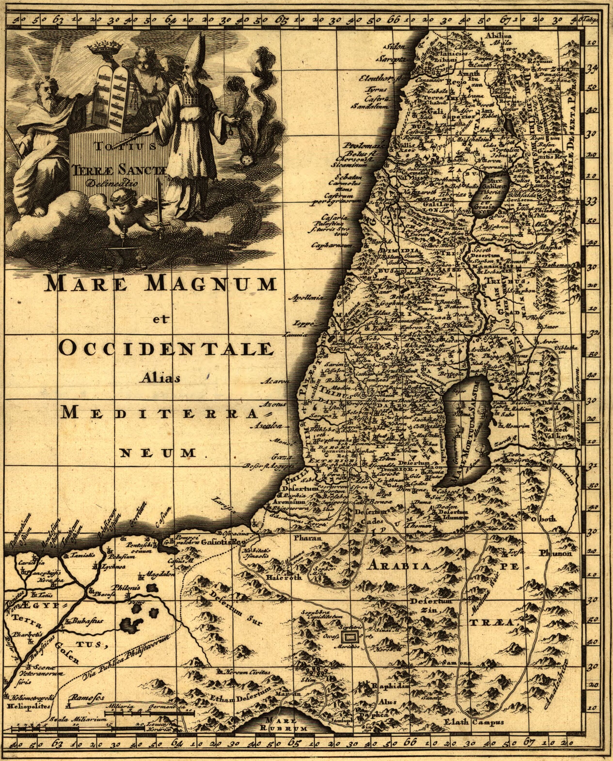
| Title | Totius Terræ Sanctæ Delineatio. | ||
| Shelf ID | G7500 1704 .C4 TIL | ||
| Date | |||
| Source | https://www.loc.gov/item/99466738/ | ||
| Author | Clüver, Philipp | ||
| Permission (Reusing this file) |
|
||
| Other versions |
|
||
| Location | Palestine | ||
| Part of | American Memory · General Maps · Catalog · Geography And Map Division | ||
| Subject | Palestine · Maps |


Licensing
[edit]
|
This is a faithful photographic reproduction of a two-dimensional, public domain work of art. The work of art itself is in the public domain for the following reason:
The official position taken by the Wikimedia Foundation is that "faithful reproductions of two-dimensional public domain works of art are public domain".
This photographic reproduction is therefore also considered to be in the public domain in the United States. In other jurisdictions, re-use of this content may be restricted; see Reuse of PD-Art photographs for details. | ||||
File history
Click on a date/time to view the file as it appeared at that time.
| Date/Time | Thumbnail | Dimensions | User | Comment | |
|---|---|---|---|---|---|
| current | 22:54, 18 February 2024 | | 2,529 × 3,140 (1.96 MB) | Enyavar (talk | contribs) | Cropped 27 % horizontally, 22 % vertically using CropTool with precise mode. |
| 23:56, 4 June 2018 |  | 3,462 × 4,038 (2.62 MB) | Fæ (talk | contribs) | LOC Maps https://www.loc.gov/item/99466738/ #20220 |
You cannot overwrite this file.
File usage on Commons
The following 3 pages use this file: