File:Torre Malatestiana - Orciano di Pesaro.jpg
From Wikimedia Commons, the free media repository
Jump to navigation
Jump to search
Size of this preview: 351 × 599 pixels. Other resolutions: 140 × 240 pixels | 281 × 480 pixels | 944 × 1,612 pixels.
Original file (944 × 1,612 pixels, file size: 483 KB, MIME type: image/jpeg)
File information
Structured data
Captions
Summary
[edit]DescriptionTorre Malatestiana - Orciano di Pesaro.jpg |
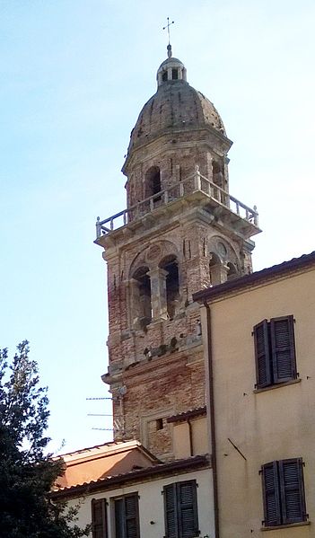
Italiano: Veduta della sommità della torre da piazza Giò Pomodoro |
Date | |
Source | Own work |
Author | |
Attribution (required by the license) InfoField | © Krepideia / Wikimedia Commons / |
InfoField | © Krepideia / Wikimedia Commons |
Permission (Reusing this file) |
Krepideia, the copyright holder of this work, hereby publishes it under the following license: This file is licensed under the Creative Commons Attribution-Share Alike 4.0 International license. Attribution: Krepideia
|
Camera location | 43° 41′ 21.21″ N, 12° 57′ 56.52″ E | View this and other nearby images on: OpenStreetMap | 43.689224; 12.965699 |
---|
File history
Click on a date/time to view the file as it appeared at that time.
Date/Time | Thumbnail | Dimensions | User | Comment | |
---|---|---|---|---|---|
current | 00:52, 26 September 2015 | 944 × 1,612 (483 KB) | Krepideia (talk | contribs) | User created page with UploadWizard |
You cannot overwrite this file.
File usage on Commons
The following page uses this file:
Metadata
This file contains additional information such as Exif metadata which may have been added by the digital camera, scanner, or software program used to create or digitize it. If the file has been modified from its original state, some details such as the timestamp may not fully reflect those of the original file. The timestamp is only as accurate as the clock in the camera, and it may be completely wrong.
Camera manufacturer | Nokia |
---|---|
Camera model | Lumia 920 |
Exposure time | 477/1,000,000 sec (0.000477) |
F-number | f/2 |
ISO speed rating | 100 |
Date and time of data generation | 16:39, 11 April 2015 |
Latitude | 43° 41′ 21.21″ N |
Longitude | 12° 57′ 56.51″ E |
Altitude | 253 meters above sea level |
Orientation | Normal |
Horizontal resolution | 72 dpi |
Vertical resolution | 72 dpi |
Software used | Adobe Photoshop CS4 Windows |
File change date and time | 02:47, 26 September 2015 |
Y and C positioning | Centered |
Exif version | 2.2 |
Date and time of digitizing | 16:39, 11 April 2015 |
Meaning of each component |
|
APEX shutter speed | 11.033723 |
APEX aperture | 2 |
APEX exposure bias | 0 |
Metering mode | Average |
Light source | Unknown |
Flash | Flash did not fire, compulsory flash suppression |
Supported Flashpix version | 1 |
Color space | sRGB |
Exposure mode | Auto exposure |
White balance | Auto white balance |
Digital zoom ratio | 1 |
Scene capture type | Standard |
Measurement mode | 3-dimensional measurement |
Measurement precision | Poor (31) |
GPS tag version | 2.2.0.0 |
Supported Flashpix version | 1 |
Image width | 992 px |
Image height | 1,684 px |
Date metadata was last modified | 04:47, 26 September 2015 |
Unique ID of original document | xmp.did:88F00933E863E5118E9EA470F039A6E2 |