File:TorontoKingswayAerial1937.jpg

Original file (5,803 × 5,471 pixels, file size: 3.21 MB, MIME type: image/jpeg)
Captions
Captions
| Description |
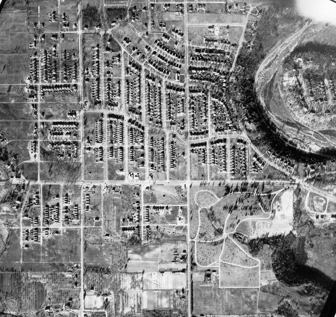
English: Aerial Photograph of the Kingsway subdivision in Etobicoke Township |
|||
| Date | ||||
| Source |
http://www.toronto.ca/archives/maps/s97_f2.htm
|
|||
| Author | Toronto Planning Department | |||
| Permission (Reusing this file) |
|

| Annotations | This image is annotated: View the annotations at Commons |
File history
Click on a date/time to view the file as it appeared at that time.
| Date/Time | Thumbnail | Dimensions | User | Comment | |
|---|---|---|---|---|---|
| current | 15:41, 10 July 2011 | | 5,803 × 5,471 (3.21 MB) | JosephIWMolto (talk | contribs) | {{Information |Description ={{en|1=Aerial Photograph of the Kingsway subdivision in Etobicoke Township}} |Source =http://www.toronto.ca/archives/maps/s97_f2.htm |Author =Metropolitan Toronto Planning Department |Date =November |
You cannot overwrite this file.
File usage on Commons
There are no pages that use this file.