File:Topographische Karte der Umgegend von Leipzig (1863) - Großzschocher, Windorf.jpg
Jump to navigation
Jump to search

Size of this preview: 800 × 545 pixels. Other resolutions: 320 × 218 pixels | 640 × 436 pixels | 1,024 × 697 pixels | 1,280 × 872 pixels | 1,683 × 1,146 pixels.
Original file (1,683 × 1,146 pixels, file size: 480 KB, MIME type: image/jpeg)
Captions
Captions
Add a one-line explanation of what this file represents
Summary
[edit]| Description |
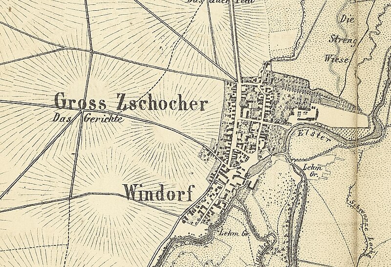
Deutsch: Großzschocher, Windorf, Topographische Karte der Umgegend von Leipzig, 1863
English: Großzschocher, Windorf, Topographical map of the area around Leipzig, 1863 |
| Date | |
| Source | Sächsische Staats- und Landesbibliothek (SLUB) Dresden: http://digital.slub-dresden.de/id1889491888 |
| Author | H. Kunsch |
| Permission (Reusing this file) |
Deutsch: Nutzungsbestimmungen für die Digitalen Sammlungen: „Accordingly, you should be able to freely use and distribute, in particular, reproductions of works in which copyright protection has expired. These digital objects are therefore usually made available under the Public Domain Mark 1.0. You may copy, modify, distribute and perform these works, even for commercial purposes, without having to ask permission in any way.“
English: Terms of Use for the Digital Collections (own translation): “Accordingly, you should be able to freely use and distribute, in particular, reproductions of works in which copyright protection has expired. These digital objects are therefore usually made available under the Public Domain Mark 1.0. You may copy, modify, distribute and perform these works, even for commercial purposes, without having to ask permission in any way.” |
| Other versions |
.jpg)
_-_Gro%C3%9Fzschocher,_Windorf.jpg&action=edit§ion=1)
Licensing
[edit]_-_Gro%C3%9Fzschocher,_Windorf.jpg&action=edit§ion=2)
| This file is made available under the Creative Commons CC0 1.0 Universal Public Domain Dedication. | |
| The person who associated a work with this deed has dedicated the work to the public domain by waiving all of their rights to the work worldwide under copyright law, including all related and neighboring rights, to the extent allowed by law. You can copy, modify, distribute and perform the work, even for commercial purposes, all without asking permission.
|
The copyright situation of this work is theoretically uncertain, because in the country of origin copyright lasts 70 years after the death of the author, and the date of the author's death is unknown. However, the date of creation of the work was over 120 years ago, and it is thus a reasonable assumption that the copyright has expired (see here for the community discussion). Do not use this template if the date of death of the author is known.
| |
| This file has been identified as being free of known restrictions under copyright law, including all related and neighboring rights. | |
This work is in the public domain in the United States because it was published (or registered with the U.S. Copyright Office) before January 1, 1929.
Public domain works must be out of copyright in both the United States and in the source country of the work in order to be hosted on the Commons. If the work is not a U.S. work, the file must have an additional copyright tag indicating the copyright status in the source country.
Note: This tag should not be used for sound recordings. |
File history
Click on a date/time to view the file as it appeared at that time.
| Date/Time | Thumbnail | Dimensions | User | Comment | |
|---|---|---|---|---|---|
| current | 14:46, 27 August 2024 | | 1,683 × 1,146 (480 KB) | Polarlys (talk | contribs) | File:Topographische Karte der Umgegend von Leipzig (1863).jpg cropped 84 % horizontally, 91 % vertically, 99 % areawise using CropTool with lossless mode. |
You cannot overwrite this file.
File usage on Commons
The following 2 pages use this file:
_-_Großzschocher,_Windorf.jpg&oldid=916584712)