File:Topographic maps of Mount Fuji and Tokyo.jpg
Jump to navigation
Jump to search
Size of this preview: 800 × 561 pixels. Other resolutions: 320 × 224 pixels | 640 × 448 pixels | 1,024 × 717 pixels | 1,109 × 777 pixels.
Original file (1,109 × 777 pixels, file size: 313 KB, MIME type: image/jpeg)
Captions
Captions
Add a one-line explanation of what this file represents
| Description |
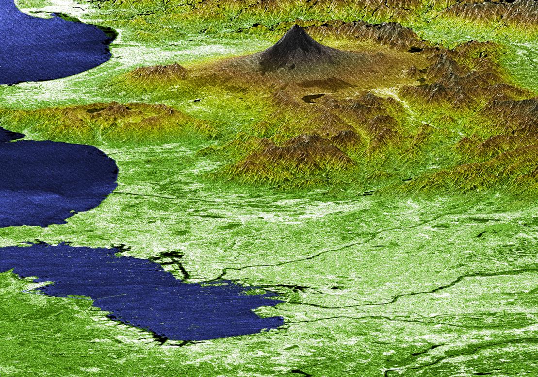
English: Perspective View with Radar Image Overlaid, Color as Height: Mt. Fuji and Tokyo, Japan
|
|||||
| Date | ||||||
| Source | http://svs.gsfc.nasa.gov/vis/a000000/a003200/a003278/index.html | |||||
| Author | NASA | |||||
| Permission (Reusing this file) |
|

File history
Click on a date/time to view the file as it appeared at that time.
| Date/Time | Thumbnail | Dimensions | User | Comment | |
|---|---|---|---|---|---|
| current | 13:02, 8 January 2010 | | 1,109 × 777 (313 KB) | Minor edit (talk | contribs) | {{Information |Description={{en|Perspective View with Radar Image Overlaid, Color as Height: Mt. Fuji and Tokyo, Japan}} {{ja|太平洋上から見た関東平野西南部と富士山・[[:ja:箱根 |
You cannot overwrite this file.
File usage on Commons
There are no pages that use this file.
File usage on other wikis
The following other wikis use this file:
- Usage on en.wikipedia.org
- Usage on fr.wikipedia.org
- Usage on it.wikipedia.org