File:Topografie Zuiderveen 1933.png
Original file (808 × 832 pixels, file size: 1.26 MB, MIME type: image/png)
Captions
Captions
Summary
[edit]
| Description |
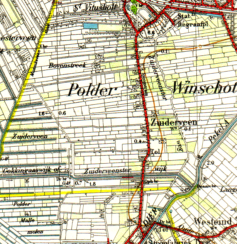
English: Topografical map of Zuiderveen explored in 1932. published in 1933. Copyrights are belonging to the state of the Netherlands. But Map is older than 70 years and therefore it's in the Public domain
Nederlands: Topografische kaart van Zuiderveen bij Winschoten. Verkend in 1932 en uitgegeven in 1933 Auteursrechten voorbehouden aan de Staat der Nederlanden, maar aangezien de kaart ouder is dan 70 jaar verlopen. Daarom valt de kaart in het publieke domein |
| Date | Verkend in 1932, uitgegeven in 1933 |
| Source | Topografische kaart 1:50.000 nr 13 Boertange. Verkend in 1932, uitgegeven in 1933 |
| Author | Topografische dienst vallend onder het ministerie van Defensie auteursrechten voorbehouden aan de Staat der nederlanden |
| Permission (Reusing this file) |
Map older than 70 Years and therefor in the public domain |
Licensing
[edit]
|
This work is in the public domain in its country of origin and other countries and areas where the copyright term is the author's life plus 70 years or fewer.
| |
| This file has been identified as being free of known restrictions under copyright law, including all related and neighboring rights. | |
File history
Click on a date/time to view the file as it appeared at that time.
| Date/Time | Thumbnail | Dimensions | User | Comment | |
|---|---|---|---|---|---|
| current | 19:00, 26 August 2008 | | 808 × 832 (1.26 MB) | Roepers (talk | contribs) | {{Information |Description={{en|1=Topografical map of Zuiderveen explored in 1932. published in 1933. Copyrights are belonging to the state of the Netherlands. But Map is older than 70 years and therefore it's in the Public domain}} {{nl|1=Topografische k |
You cannot overwrite this file.
File usage on Commons
There are no pages that use this file.
File usage on other wikis
The following other wikis use this file:
- Usage on nl.wikipedia.org