File:Top Hill Low Nature Reserve - geograph.org.uk - 897232.jpg
Jump to navigation
Jump to search
No higher resolution available.
Top_Hill_Low_Nature_Reserve_-_geograph.org.uk_-_897232.jpg (640 × 480 pixels, file size: 130 KB, MIME type: image/jpeg)
Captions
Captions
Add a one-line explanation of what this file represents
Summary
[edit]
| Description |
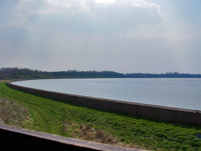
English: Top Hill Low Nature Reserve, east of Watton, East Riding of Yorkshire, England. This is a scene captured in the hide at the northern end of "D" reservoir. The reservoir and water processing were created to serve the needs for fresh water of the growing population in Hull, and saved Farndale Valley from being flooded for the same purpose. |
| Date | |
| Source | From geograph.org.uk |
| Author | Peter Church |
| Permission (Reusing this file) |
Creative Commons Attribution Share-alike license 2.0 |
| Attribution (required by the license) | Peter Church / Top Hill Low Nature Reserve / |
| Camera location | | View this and other nearby images on: OpenStreetMap |
|---|
_heading:180.00&language=en)
| Object location | | View this and other nearby images on: OpenStreetMap |
|---|
_heading:180.00&language=en)
Licensing
[edit]

|
This image was taken from the Geograph project collection. See this photograph's page on the Geograph website for the photographer's contact details. The copyright on this image is owned by Peter Church and is licensed for reuse under the Creative Commons Attribution-ShareAlike 2.0 license.
|
This file is licensed under the Creative Commons Attribution-Share Alike 2.0 Generic license.
Attribution: Peter Church
- You are free:
- to share – to copy, distribute and transmit the work
- to remix – to adapt the work
- Under the following conditions:
- attribution – You must give appropriate credit, provide a link to the license, and indicate if changes were made. You may do so in any reasonable manner, but not in any way that suggests the licensor endorses you or your use.
- share alike – If you remix, transform, or build upon the material, you must distribute your contributions under the same or compatible license as the original.
File history
Click on a date/time to view the file as it appeared at that time.
| Date/Time | Thumbnail | Dimensions | User | Comment | |
|---|---|---|---|---|---|
| current | 17:34, 21 February 2011 | | 640 × 480 (130 KB) | GeographBot (talk | contribs) | == {{int:filedesc}} == {{Information |description={{en|1=Top Hill Low Nature Reserve This is a scene captured in the hide at the northern end of "D" reservoir. The reservoir and water processing were created to serve the needs for fresh water of the grow |
You cannot overwrite this file.
File usage on Commons
There are no pages that use this file.