File:Tolchester folio Maryland Plate X.jpg
Jump to navigation
Jump to search

Size of this preview: 800 × 427 pixels. Other resolutions: 320 × 171 pixels | 640 × 341 pixels | 1,024 × 546 pixels | 1,280 × 683 pixels | 1,980 × 1,056 pixels.
Original file (1,980 × 1,056 pixels, file size: 868 KB, MIME type: image/jpeg)
Captions
Captions
Add a one-line explanation of what this file represents
Summary
[edit]
| Description |
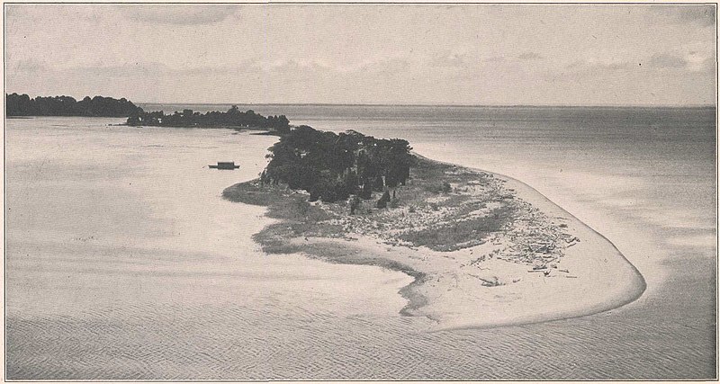
English: Plate X from Tolchester Folio, Maryland, which has the following caption:
The text of the Folio states:
The Folio also states:
|
| Date | |
| Source | Tolchester folio, Maryland, Geologic Atlas of the United States, by B. L. Miller , E. B. Mathews, A. B. Bibbins, and H. P. Little, 2017 |
| Author | USGS |
| Camera location | | View this and other nearby images on: OpenStreetMap |
|---|
Licensing
[edit]
This image is in the public domain in the United States because it only contains materials that originally came from the United States Geological Survey, an agency of the United States Department of the Interior. For more information, see the official USGS copyright policy.
|
File history
Click on a date/time to view the file as it appeared at that time.
| Date/Time | Thumbnail | Dimensions | User | Comment | |
|---|---|---|---|---|---|
| current | 13:18, 7 February 2023 | | 1,980 × 1,056 (868 KB) | Jstuby (talk | contribs) | Uploaded a work by USGS from [https://pubs.er.usgs.gov/publication/gf204 Tolchester folio, Maryland], Geologic Atlas of the United States, by B. L. Miller , E. B. Mathews, A. B. Bibbins, and H. P. Little, 2017 with UploadWizard |
You cannot overwrite this file.
File usage on Commons
There are no pages that use this file.