File:Todos Santos - panoramio.jpg
Jump to navigation
Jump to search
Size of this preview: 800 × 600 pixels. Other resolutions: 320 × 240 pixels | 640 × 480 pixels | 1,024 × 768 pixels | 1,280 × 960 pixels | 2,048 × 1,536 pixels.
Original file (2,048 × 1,536 pixels, file size: 766 KB, MIME type: image/jpeg)
Captions
Captions
Add a one-line explanation of what this file represents
Summary
[edit]
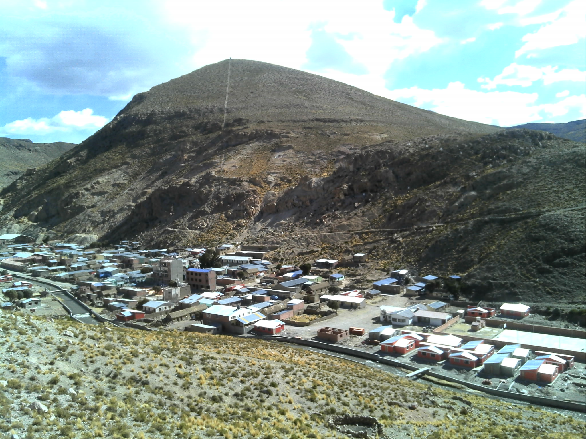
| Description | Todos Santos | ||
| Date | 30 July 2014 (according to Exif data) | ||
| Source | https://web.archive.org/web/20161101162737/http://www.panoramio.com/photo/110959812 | ||
| Author | Tomas LOPEZ VILLARTE | ||
| Permission (Reusing this file) |
This file is licensed under the Creative Commons Attribution-Share Alike 3.0 Unported license. Attribution: Tomas LOPEZ VILLARTE
|
||
| Tags (from Panoramio photo page) | Puerto De Mejillones, 2014, Bolivia, Departamento Autónomo de Oruro, frontera, Puerto De Mejillones |
| Camera location | | View this and other nearby images on: OpenStreetMap |
|---|
File history
Click on a date/time to view the file as it appeared at that time.
| Date/Time | Thumbnail | Dimensions | User | Comment | |
|---|---|---|---|---|---|
| current | 00:57, 17 April 2017 | | 2,048 × 1,536 (766 KB) | Panoramio upload bot (talk | contribs) | == {{int:filedesc}} == {{Information |description=Todos Santos |date={{Taken on|2014-07-30}} |source=http://www.panoramio.com/photo/110959812 |author=[http://www.panoramio.com/user/8412636?with_photo_id=110959812 Tomas LOPEZ VILLARTE] |permission={{cc-... |
You cannot overwrite this file.
File usage on Commons
The following page uses this file:
File usage on other wikis
The following other wikis use this file:
- Usage on ca.wikipedia.org
- Usage on en.wikipedia.org
- Usage on es.wikipedia.org
- Usage on eu.wikipedia.org
- Usage on it.wikipedia.org
- Usage on ka.wikipedia.org
- Usage on no.wikipedia.org
- Usage on ru.wikipedia.org
- Usage on www.wikidata.org