File:Tipton railway station, geograph-3381136-by-Nigel-Thompson.jpg
Jump to navigation
Jump to search
Size of this preview: 800 × 600 pixels. Other resolutions: 320 × 240 pixels | 640 × 480 pixels | 1,024 × 768 pixels.
Original file (1,024 × 768 pixels, file size: 171 KB, MIME type: image/jpeg)
Captions
Captions
Add a one-line explanation of what this file represents
| Description |
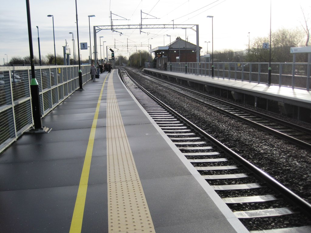
English: Tipton railway station
Opened in 1852 by the London & North Western Railway on the line from Birmingham New Street to Wolverhampton (High Level). View south east towards Dudley Port and Birmingham. This station used to be called Tipton Owen Street until 1968. |
||
| Date | |||
| Source | geograph.org.uk | ||
| Author | Nigel Thompson | ||
| Permission (Reusing this file) |
This file is licensed under the Creative Commons Attribution-Share Alike 2.0 Generic license. Attribution: Nigel Thompson
|
||
| Attribution (required by the license) | Nigel Thompson / Tipton railway station / | ||

| Camera location | | View this and other nearby images on: OpenStreetMap |
|---|
_heading:135.00&language=en)
| Object location | | View this and other nearby images on: OpenStreetMap |
|---|
_heading:135.00&language=en)
File history
Click on a date/time to view the file as it appeared at that time.
| Date/Time | Thumbnail | Dimensions | User | Comment | |
|---|---|---|---|---|---|
| current | 21:33, 5 October 2014 | | 1,024 × 768 (171 KB) | G-13114 (talk | contribs) | {{Information |description={{en|1=Tipton railway station Opened in 1852 by the London & North Western Railway on the line from Birmingham New Street to Wolverhampton (High Level). View south east towards Dudley Port and Birmingham. This station used t... |
You cannot overwrite this file.
File usage on Commons
The following 2 pages use this file:
File usage on other wikis
The following other wikis use this file:
- Usage on en.wikipedia.org