File:Tipsoo Lake Wayside is on the south side of the lake along SR 410. (af8ba51f-68f8-4db5-bb0c-03cb61a8c544).JPG
Jump to navigation
Jump to search

Size of this preview: 800 × 600 pixels. Other resolutions: 320 × 240 pixels | 640 × 480 pixels | 1,024 × 768 pixels | 1,280 × 960 pixels | 2,560 × 1,920 pixels | 4,032 × 3,024 pixels.
Original file (4,032 × 3,024 pixels, file size: 4.38 MB, MIME type: image/jpeg)
Captions
Captions
Add a one-line explanation of what this file represents
| Camera location | | View this and other nearby images on: OpenStreetMap |
|---|
.JPG¶ms=046.867247_N_-121.518142_E_globe:Earth_type:camera_alt:1617.12109_source:exif_heading:36.11&language=en)
Summary
[edit].JPG&action=edit§ion=1)
| English: Tipsoo Lake Wayside | ||||
|---|---|---|---|---|
| Photographer |
English: NPS Photo |
|||
| Title |
English: Tipsoo Lake Wayside |
|||
| Description |
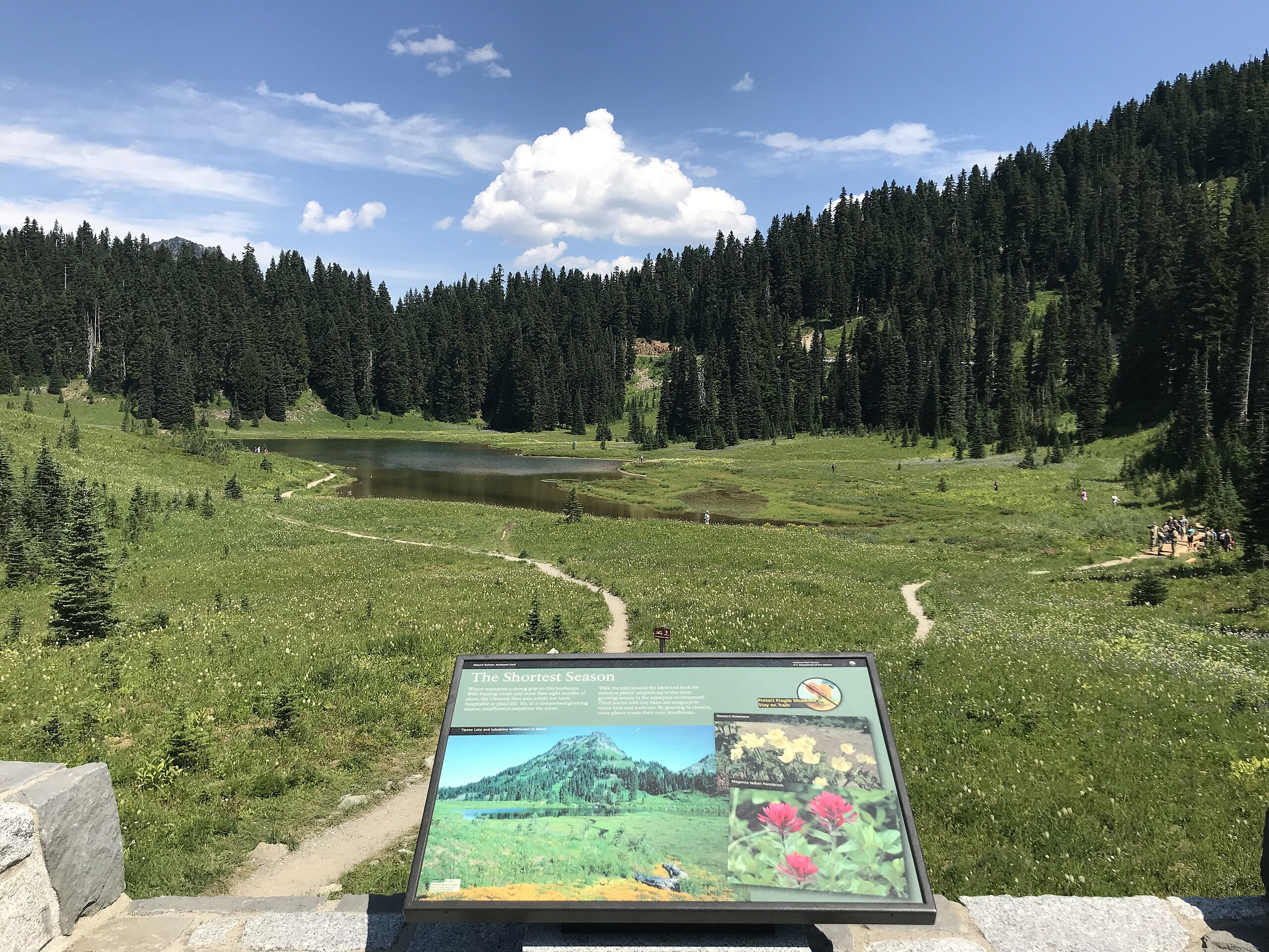
English: A wayside panel on a rock wall overlooks several trails meandering through lush meadows surrounding a shallow lake and forested hillsides. Tipsoo Lake Wayside is on the south side of the lake along SR 410.
|
|||
| Depicted place |
English: Mount Rainier National Park, Washington |
|||
| Date | Taken on 8 August 2019 | |||
| Accession number | ||||
| Source |
English: NPGallery |
|||
| Permission (Reusing this file) |
|
|||
| NPS Unit Code | MORA | |||
File history
Click on a date/time to view the file as it appeared at that time.
| Date/Time | Thumbnail | Dimensions | User | Comment | |
|---|---|---|---|---|---|
| current | 23:38, 15 January 2022 | | 4,032 × 3,024 (4.38 MB) | BMacZeroBot (talk | contribs) | Batch upload (Commons:Batch uploading/NPGallery) |
You cannot overwrite this file.
File usage on Commons
The following page uses this file:
.JPG)
.JPG&oldid=709393525)