File:Tierra del Fuego adm location map.svg

Original file (SVG file, nominally 1,616 × 1,600 pixels, file size: 1.8 MB)
Captions
Captions
Summary
[edit]| Description |
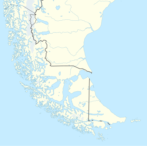
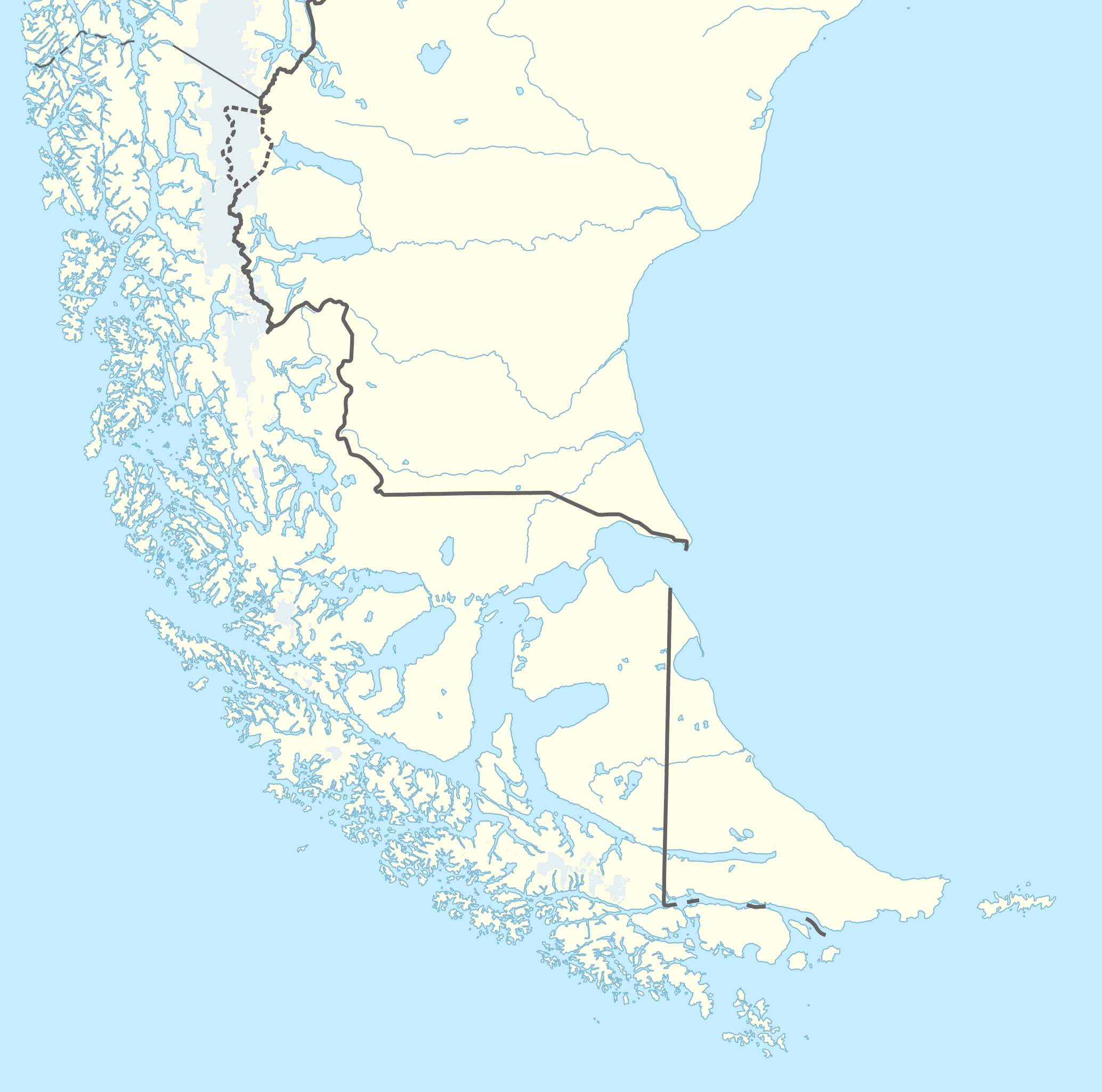
Deutsch: Positionskarte von Feuerland und Umgebung
English: Location map of Tierra del Fuego and surroundings
|
||||||||||||
| Date | |||||||||||||
| Source | Own work using: United States National Imagery and Mapping Agency data | ||||||||||||
| Author | NordNordWest | ||||||||||||
| Other versions | Derivative works of this file: Torres del Paine National Park location.svg | ||||||||||||
| SVG development | This locator map was created with Adobe Illustrator by NordNordWest.
|
||||||||||||

Licensing
[edit]
Usage of this file with:

explanatory notes: Legally binding is only the full legalcode. For a free usage I recommend to respect the following licence conditions:
1. Provide my name as given above: NordNordWest,
2. a copy of, or the URI for, the applicable license: https://creativecommons.org/licenses/by-sa/3.0/de/legalcode,
3. the title of the work,
4. in the case of an adaptation, a credit identifying the use of the work in the adaptation.
This license and the rights granted hereunder will terminate automatically upon any breach by you of the terms of this license. Any of the above conditions can be waived if you get permission from the copyright holder. If you have questions or wish differing conditions, please contact me through nnwest or my discussion page ![]() t-online.de
t-online.de
- You are free:
- to share – to copy, distribute and transmit the work
- to remix – to adapt the work
- Under the following conditions:
- attribution – You must give appropriate credit, provide a link to the license, and indicate if changes were made. You may do so in any reasonable manner, but not in any way that suggests the licensor endorses you or your use.
- share alike – If you remix, transform, or build upon the material, you must distribute your contributions under the same or compatible license as the original.

File history
Click on a date/time to view the file as it appeared at that time.
| Date/Time | Thumbnail | Dimensions | User | Comment | |
|---|---|---|---|---|---|
| current | 12:47, 28 December 2017 | | 1,616 × 1,600 (1.8 MB) | NordNordWest (talk | contribs) | dashed lines = disputed; this set of location maps doesn't show boundaries in the sea when they are not necessary |
| 23:40, 24 December 2017 |  | 1,616 × 1,600 (1.46 MB) | Janitoalevic (talk | contribs) | Better borders | |
| 00:43, 30 May 2016 |  | 1,616 × 1,600 (1.45 MB) | Janitoalevic (talk | contribs) | Fixed details. | |
| 20:40, 2 March 2016 |  | 1,616 × 1,600 (1.4 MB) | NordNordWest (talk | contribs) | == {{int:filedesc}} == {{Information |Description= {{de|1=Positionskarte von Feuerland und Umgebung}} {{en|1=Location map of Tierra del Fuego and surroundings}} {{Location map series N (conic)|top=-48.5|longitude=-70|latitude1=-50|latitude2 = -54|bott... |
You cannot overwrite this file.
File usage on Commons
The following 3 pages use this file:
File usage on other wikis
The following other wikis use this file:
- Usage on de.wikipedia.org
- Magellanstraße
- Beagle-Kanal
- Isla de los Estados
- El Páramo
- Fitz Roy
- Cerro Torre
- Südlichste Orte der Erde
- Wellington (Insel)
- Ildefonso-Inseln
- Cabo San Pío
- Le-Maire-Straße (Kap Hoorn)
- Fagnano-See
- Vorlage:Positionskarte Feuerland
- Wollaston-Inseln
- Hermite-Inseln
- Riesco (Insel)
- Santa Inés (Insel)
- Muñoz-Gamero-Halbinsel
- Bahía Inútil
- Islotes les Éclaireurs
- Hanover (Insel)
- Torre Egger
- Isla Desolación
- Isla Clarence
- Isla Capitán Aracena
- Canal Cockburn
- Canal Magdalena (Magellanstraße)
- Islote Águila
- Circo de los Altares
- Usage on frr.wikipedia.org
- Usage on zh.wikipedia.org