File:Tierra de Peñaranda.SVG
Jump to navigation
Jump to search

Size of this PNG preview of this SVG file: 650 × 450 pixels. Other resolutions: 320 × 222 pixels | 640 × 443 pixels | 1,024 × 709 pixels | 1,280 × 886 pixels | 2,560 × 1,772 pixels.
Original file (SVG file, nominally 650 × 450 pixels, file size: 483 KB)
Captions
Captions
Add a one-line explanation of what this file represents
Summary
[edit]
| Description | |||
| Date | |||
| Source | Own work | ||
| Author | Tres1416 | ||
| Permission (Reusing this file) |
|
File history
Click on a date/time to view the file as it appeared at that time.
| Date/Time | Thumbnail | Dimensions | User | Comment | |
|---|---|---|---|---|---|
| current | 23:17, 12 April 2014 | | 650 × 450 (483 KB) | Heubg43 (talk | contribs) | Detalle |
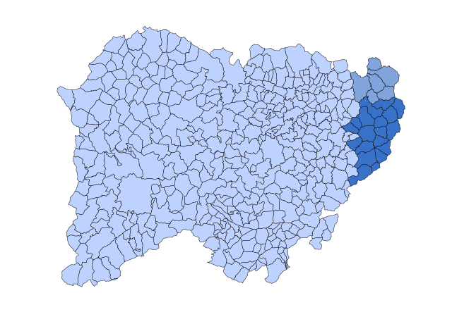
| 12:24, 2 December 2011 |  | 650 × 450 (483 KB) | Tres1416 (talk | contribs) | == {{int:filedesc}} == {{Information |Description={{en|Map of municipalities of Tierra de Peñaranda (Salamanca, Spain). }} {{es|Mapa de los municipios de [[:es:Tierra de Peñaranda|Tier |
You cannot overwrite this file.
File usage on Commons
The following page uses this file:
File usage on other wikis
The following other wikis use this file:
- Usage on ast.wikipedia.org
- Usage on ca.wikipedia.org
- Usage on en.wikipedia.org
- Usage on es.wikipedia.org
- Usage on fr.wikipedia.org
- Usage on it.wikipedia.org
- Usage on www.wikidata.org