File:Tidal Land sign, old River Nar route.jpg
Jump to navigation
Jump to search
Size of this preview: 800 × 533 pixels. Other resolutions: 320 × 213 pixels | 640 × 427 pixels | 1,024 × 683 pixels | 1,280 × 853 pixels | 2,883 × 1,922 pixels.
Original file (2,883 × 1,922 pixels, file size: 3.61 MB, MIME type: image/jpeg)
Captions
Captions
Add a one-line explanation of what this file represents
Summary
[edit]
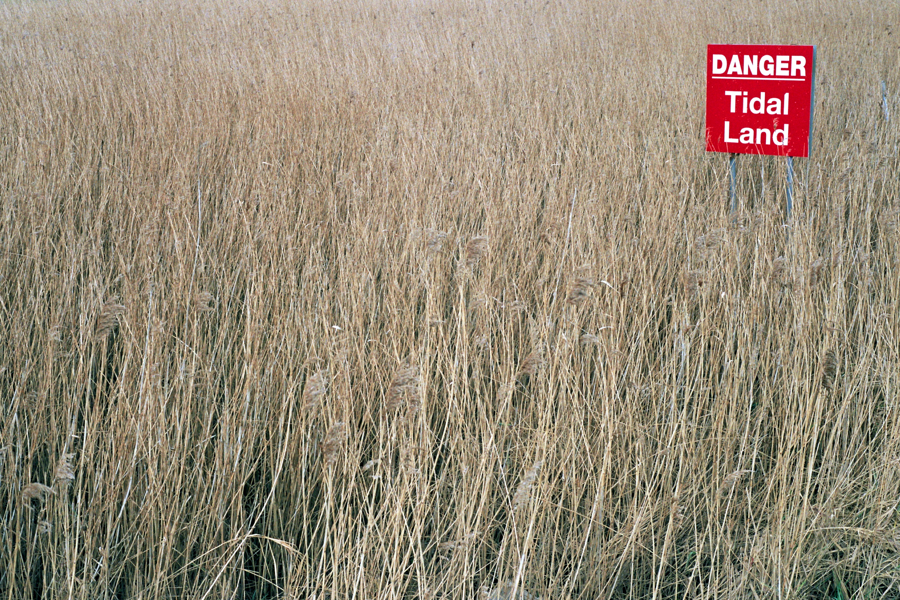
| Description | A sign saying "DANGER: Tidal Land" in reeds on the old route of the River Nar, though I have never seen this tidally flooded! |
| Date | Unknown date |
| Source | Own work |
| Author | Lewis Collard |
| Camera location | | View this and other nearby images on: OpenStreetMap |
|---|

|
The copyright holder of this file allows anyone to use it for any purpose, provided that the copyright holder is properly attributed. Redistribution, derivative work, commercial use, and all other use is permitted. |
Attribution:
Lewis Collard
|
File history
Click on a date/time to view the file as it appeared at that time.
| Date/Time | Thumbnail | Dimensions | User | Comment | |
|---|---|---|---|---|---|
| current | 21:10, 10 June 2023 | | 2,883 × 1,922 (3.61 MB) | Collard (talk | contribs) | {{Information |Description=A sign saying "DANGER: Tidal Land" in reeds on the old route of the River Nar, though I have never seen this tidally flooded! |Source={{own}} |Date=unknown |Author= Lewis Collard |Permission= |other_versions= }} {{Location|52.748493|0.396583}} {{attribution|text=Lewis Collard}} Category:Environs of King's Lynn Category:River Nar in King's Lynn Category:Tide warning signs |
You cannot overwrite this file.
File usage on Commons
There are no pages that use this file.