File:Thornton Abbey Ruins.jpg
Jump to navigation
Jump to search
No higher resolution available.
Thornton_Abbey_Ruins.jpg (640 × 480 pixels, file size: 133 KB, MIME type: image/jpeg)
Captions
Captions
Add a one-line explanation of what this file represents
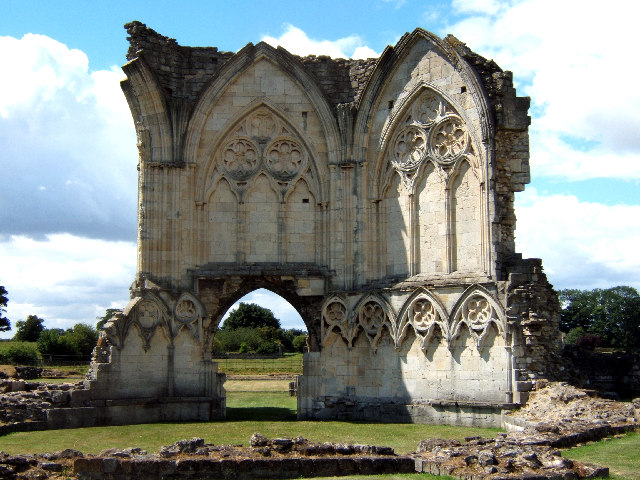
| Description | Ruins of Thornton Abbey, Lincolnshire. | ||
| Date | |||
| Source | Geograph project | ||
| Author | David Wright | ||
| Permission (Reusing this file) |
This file is licensed under the Creative Commons Attribution-Share Alike 2.0 Generic license. Attribution: David Wright
|

| Object location | | View this and other nearby images on: OpenStreetMap |
|---|
_region:GB-GBN_&language=en)
File history
Click on a date/time to view the file as it appeared at that time.
| Date/Time | Thumbnail | Dimensions | User | Comment | |
|---|---|---|---|---|---|
| current | 15:07, 24 November 2006 | | 640 × 480 (133 KB) | GeeJo (talk | contribs) | {{Information| |Description = Ruins of Thornton Abbey, Lincolnshire. |Source = [http://www.geograph.org.uk/photo/43670 Geograph project] |Date = 27 June, 2005 |Author = David Wright |Permission = {{geograph|43670|David Wright}} |oth |
| 15:05, 24 November 2006 |  | 640 × 480 (137 KB) | GeeJo (talk | contribs) | {{Information| |Description = Ruins of Thornton Abbey, Lincolnshire. |Source = [http://www.geograph.org.uk/photo/43670 Geograph project] |Date = 27 June, 2005 |Author = David Wright |Permission = {{geograph|43670|David Wright}} |oth |
You cannot overwrite this file.
File usage on Commons
There are no pages that use this file.
File usage on other wikis
The following other wikis use this file:
- Usage on ar.wikipedia.org
- Usage on be.wikipedia.org
- Usage on ca.wikipedia.org
- Usage on en.wikipedia.org
- Usage on fr.wikipedia.org
- Usage on id.wikipedia.org
- Usage on pl.wikipedia.org
- Usage on ru.wikipedia.org
- Usage on uk.wikipedia.org
- Usage on zh.wikipedia.org