File:Thi tran ninh giang.jpg
From Wikimedia Commons, the free media repository
Jump to navigation
Jump to search
Size of this preview: 800 × 528 pixels. Other resolutions: 320 × 211 pixels | 640 × 422 pixels | 1,000 × 660 pixels.
Original file (1,000 × 660 pixels, file size: 172 KB, MIME type: image/jpeg)
File information
Structured data
Captions
Summary
[edit]DescriptionThi tran ninh giang.jpg |
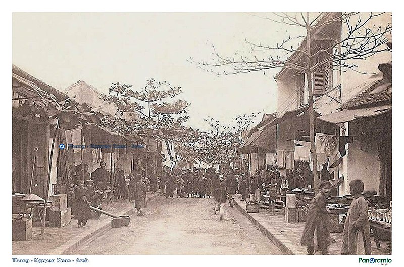
Tiếng Việt: Thị trấn Ninh Giang xưa Hải Dương |
Date | |
Source | http://mw2.google.com/mw-panoramio/photos/medium/31957389.jpg |
Author | Adwin 508 |
Licensing
[edit]Public domainPublic domainfalsefalse |
I, the copyright holder of this work, release this work into the public domain. This applies worldwide. In some countries this may not be legally possible; if so: I grant anyone the right to use this work for any purpose, without any conditions, unless such conditions are required by law. |
File history
Click on a date/time to view the file as it appeared at that time.
Date/Time | Thumbnail | Dimensions | User | Comment | |
---|---|---|---|---|---|
current | 16:19, 18 May 2010 | 1,000 × 660 (172 KB) | Adwin 508 (talk | contribs) |
You cannot overwrite this file.
File usage on Commons
There are no pages that use this file.
File usage on other wikis
The following other wikis use this file:
- Usage on ko.wikipedia.org
- Usage on vi.wikipedia.org
Metadata
This file contains additional information such as Exif metadata which may have been added by the digital camera, scanner, or software program used to create or digitize it. If the file has been modified from its original state, some details such as the timestamp may not fully reflect those of the original file. The timestamp is only as accurate as the clock in the camera, and it may be completely wrong.
Camera manufacturer | Canon |
---|---|
Camera model | Canon EOS 50D |
Exposure time | 1/500 sec (0.002) |
F-number | f/8 |
ISO speed rating | 160 |
Date and time of data generation | 10:58, 18 March 2009 |
Lens focal length | 300 mm |
Latitude | 20° 43′ 50.74″ N |
Longitude | 106° 24′ 4.42″ E |
Altitude | 0 meters above sea level |
Short title |
|
Image title |
|
Orientation | Normal |
Horizontal resolution | 72 dpi |
Vertical resolution | 72 dpi |
Software used | Picasa 3.0 |
File change date and time | 22:36, 2 January 2010 |
Y and C positioning | Co-sited |
Exposure Program | Aperture priority |
Exif version | 2.21 |
Date and time of digitizing | 10:58, 18 March 2009 |
Meaning of each component |
|
APEX shutter speed | 9 |
APEX aperture | 6 |
APEX exposure bias | 0 |
Metering mode | Pattern |
Flash | Flash did not fire, compulsory flash suppression |
DateTime subseconds | 00 |
DateTimeOriginal subseconds | 00 |
DateTimeDigitized subseconds | 00 |
Supported Flashpix version | 1 |
Color space | sRGB |
Focal plane X resolution | 5,315.4362416107 |
Focal plane Y resolution | 5,306.5326633166 |
Focal plane resolution unit | inches |
Custom image processing | Normal process |
Exposure mode | Auto exposure |
White balance | Auto white balance |
Scene capture type | Standard |
Unique image ID | 43e2c569cd5f8fd562f913f2b9c228de |
GPS tag version | 0.0.2.2 |
Supported Flashpix version | 1 |
Image width | 1,000 px |
Image height | 660 px |
Date metadata was last modified | 05:36, 3 January 2010 |
Hidden categories: