File:The Wilderness square - geograph.org.uk - 496445.jpg
Jump to navigation
Jump to search
No higher resolution available.
The_Wilderness_square_-_geograph.org.uk_-_496445.jpg (640 × 477 pixels, file size: 96 KB, MIME type: image/jpeg)
Captions
Captions
Add a one-line explanation of what this file represents
Summary
[edit]
| Description |
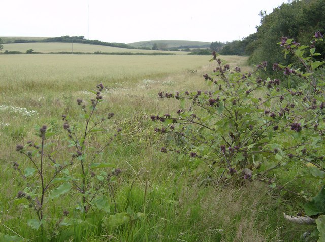
English: The Wilderness square This is the north-west corner of the square looking north-west. The first 80 metres or so of this picture are in the square and consist of a field of cereal crop, a wide unkept field edge and a hedge line. A bridleway in the adjacent square runs along the first hedge line, but there are no footpaths in this square.
Behind me is an impenetrable "jungle" preventing further access. The 1:25K map calls this area, appropriately, The Wilderness. |
| Date | |
| Source | From geograph.org.uk |
| Author | Graham Horn |
| Attribution (required by the license) | Graham Horn / The Wilderness square / |
| Camera location | | View this and other nearby images on: OpenStreetMap |
|---|
_heading:337.00&language=en)
| Object location | | View this and other nearby images on: OpenStreetMap |
|---|
_heading:337.00&language=en)
Licensing
[edit]

|
This image was taken from the Geograph project collection. See this photograph's page on the Geograph website for the photographer's contact details. The copyright on this image is owned by Graham Horn and is licensed for reuse under the Creative Commons Attribution-ShareAlike 2.0 license.
|
This file is licensed under the Creative Commons Attribution-Share Alike 2.0 Generic license.
Attribution: Graham Horn
- You are free:
- to share – to copy, distribute and transmit the work
- to remix – to adapt the work
- Under the following conditions:
- attribution – You must give appropriate credit, provide a link to the license, and indicate if changes were made. You may do so in any reasonable manner, but not in any way that suggests the licensor endorses you or your use.
- share alike – If you remix, transform, or build upon the material, you must distribute your contributions under the same or compatible license as the original.
File history
Click on a date/time to view the file as it appeared at that time.
| Date/Time | Thumbnail | Dimensions | User | Comment | |
|---|---|---|---|---|---|
| current | 06:22, 5 February 2011 | | 640 × 477 (96 KB) | GeographBot (talk | contribs) | == {{int:filedesc}} == {{Information |description={{en|1=The Wilderness square This is the north-west corner of the square looking north-west. The first 80 metres or so of this picture are in the square and consist of a field of cereal crop, a wide unkep |
You cannot overwrite this file.
File usage on Commons
There are no pages that use this file.
File usage on other wikis
The following other wikis use this file:
- Usage on ru.wikipedia.org