File:The Village Hall, Edington, Somerset - geograph.org.uk - 1105841.jpg
Jump to navigation
Jump to search
No higher resolution available.
The_Village_Hall,_Edington,_Somerset_-_geograph.org.uk_-_1105841.jpg (640 × 480 pixels, file size: 60 KB, MIME type: image/jpeg)
Captions
Captions
Add a one-line explanation of what this file represents
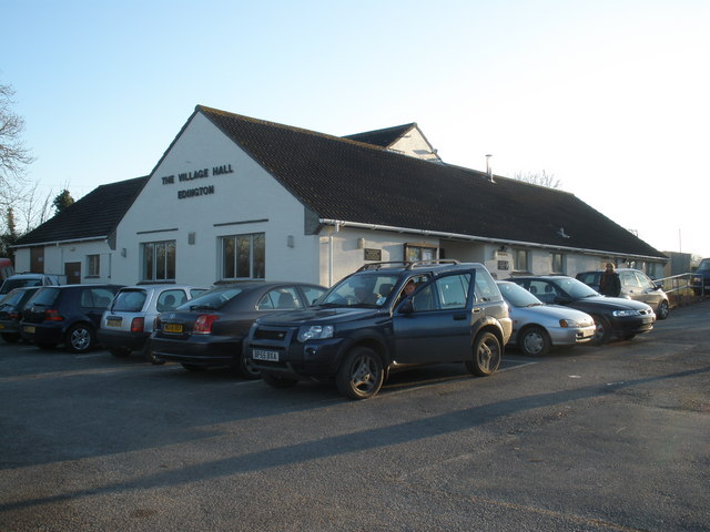
| Description | The Village Hall, Edington, Somerset | ||
| Date | |||
| Source | From geograph.org.uk; transferred by User:Magnus Manske using geograph_org2commons. | ||
| Author | Roger Cornfoot | ||
| Permission (Reusing this file) |
Creative Commons Attribution Share-alike license 2.0
This file is licensed under the Creative Commons Attribution-Share Alike 2.0 Generic license. Attribution: Roger Cornfoot
|
||
| Attribution (required by the license) | Roger Cornfoot / The Village Hall, Edington, Somerset / | ||

| Camera location | | View this and other nearby images on: OpenStreetMap |
|---|
| Object location | | View this and other nearby images on: OpenStreetMap |
|---|
_region:GB-EAW_heading:157.00&language=en)
File history
Click on a date/time to view the file as it appeared at that time.
| Date/Time | Thumbnail | Dimensions | User | Comment | |
|---|---|---|---|---|---|
| current | 18:27, 9 March 2009 | | 640 × 480 (60 KB) | File Upload Bot (Magnus Manske) (talk | contribs) | {{Information |Description=The Village Hall, Edington, Somerset |Source=From [http://www.geograph.org.uk/photo/1105841 geograph.org.uk]; transferd by User:Magnus Manske using [http://toolserver.org/~magnus/geograph_org2commons.php geograph_org2common |
You cannot overwrite this file.
File usage on Commons
The following page uses this file:
File usage on other wikis
The following other wikis use this file:
- Usage on ceb.wikipedia.org
- Usage on en.wikipedia.org
- Usage on fa.wikipedia.org
- Usage on fr.wikipedia.org
- Usage on it.wikipedia.org
- Usage on lld.wikipedia.org
- Usage on nl.wikipedia.org
- Usage on pl.wikipedia.org
- Usage on tr.wikipedia.org
- Usage on www.wikidata.org
- Usage on zh-min-nan.wikipedia.org