File:The Stanley Building, Kings Cross geograph-5003829-by-Jim-Osley.jpg
Jump to navigation
Jump to search

Size of this preview: 550 × 599 pixels. Other resolutions: 220 × 240 pixels | 440 × 480 pixels | 705 × 768 pixels | 939 × 1,024 pixels | 1,468 × 1,600 pixels.
Original file (1,468 × 1,600 pixels, file size: 354 KB, MIME type: image/jpeg)
Captions
Captions
Add a one-line explanation of what this file represents
Summary
[edit]
| Description |
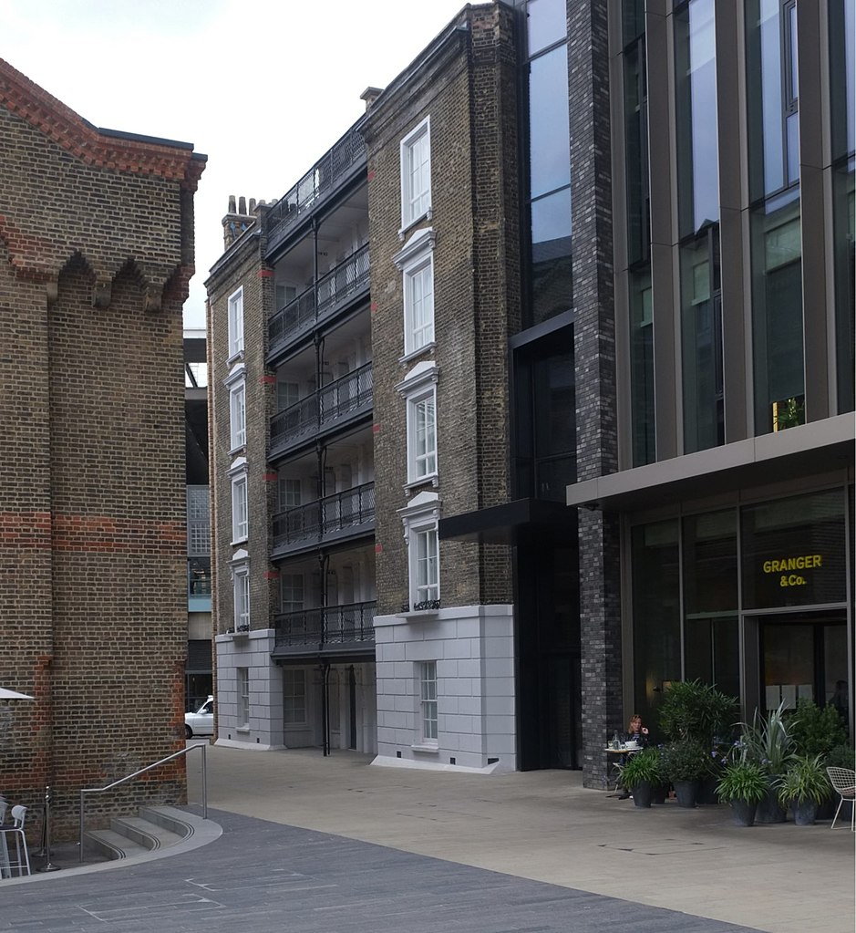
English: The Stanley Building, Kings Cross. Retained facade of one section of the former 19th century housing block Stanley Buildings. |
| Date | |
| Source | https://www.geograph.org.uk/photo/5003829 |
| Author | Jim Osley |
| Attribution (required by the license) | Jim Osley / The Stanley Building, Kings Cross / |
| Camera location | | View this and other nearby images on: OpenStreetMap |
|---|
_region:GB-ENG_heading:292.00&language=en)
| Object location | | View this and other nearby images on: OpenStreetMap |
|---|
_region:GB-ENG_heading:292.00&language=en)
Licensing
[edit]

|
This image was taken from the Geograph project collection. See this photograph's page on the Geograph website for the photographer's contact details. The copyright on this image is owned by Jim Osley and is licensed for reuse under the Creative Commons Attribution-ShareAlike 2.0 license.
|
This file is licensed under the Creative Commons Attribution-Share Alike 2.0 Generic license.
Attribution: Jim Osley
- You are free:
- to share – to copy, distribute and transmit the work
- to remix – to adapt the work
- Under the following conditions:
- attribution – You must give appropriate credit, provide a link to the license, and indicate if changes were made. You may do so in any reasonable manner, but not in any way that suggests the licensor endorses you or your use.
- share alike – If you remix, transform, or build upon the material, you must distribute your contributions under the same or compatible license as the original.
File history
Click on a date/time to view the file as it appeared at that time.
| Date/Time | Thumbnail | Dimensions | User | Comment | |
|---|---|---|---|---|---|
| current | 08:39, 2 November 2022 | | 1,468 × 1,600 (354 KB) | Judithcomm (talk | contribs) | Uploaded a work by [https://www.geograph.org.uk/profile/11136 Jim Osley] from https://www.geograph.org.uk/photo/5003829 with UploadWizard |
You cannot overwrite this file.
File usage on Commons
There are no pages that use this file.