File:The Growth of Anyang City.jpg
Jump to navigation
Jump to search

Size of this preview: 800 × 600 pixels. Other resolutions: 320 × 240 pixels | 640 × 480 pixels | 1,024 × 768 pixels | 1,280 × 960 pixels | 2,560 × 1,920 pixels | 9,248 × 6,936 pixels.
Original file (9,248 × 6,936 pixels, file size: 11.53 MB, MIME type: image/jpeg)
Captions
Captions
Add a one-line explanation of what this file represents
Summary
[edit]
| Description |
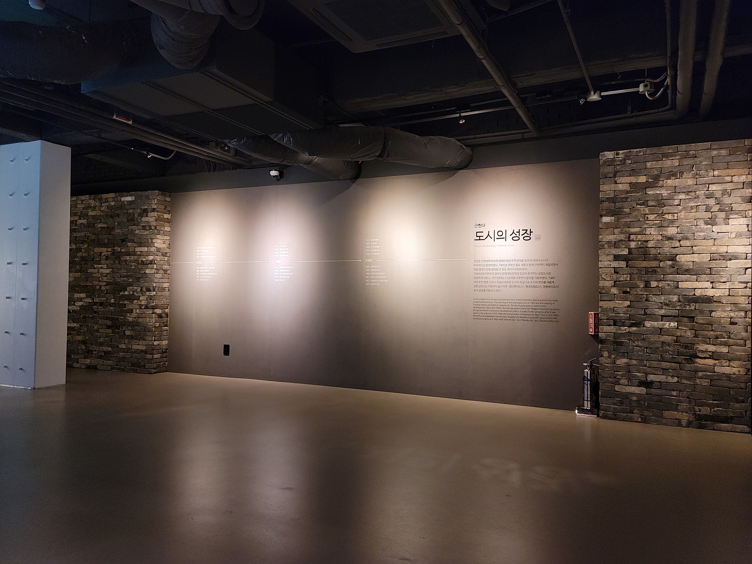
한국어: 안양은 근현대에 이르러 현재의 행정구역 형태를 갖추게 되면서 도시가 비약적으로 발전하였다. 1905년 경부선 철도 개통과 함께 안양역이 개설되면서 안양 일대가 한층 발전할 수 있는 계기가 마련되었다.
1960년대 이후 정부의 경제개발정책에 힘입어 본격적인 공업도시로 성장하게 되었고, 1973년에는 시승격을 이루면서 발전을 거듭하였다. 1980년대 평촌 신도시 건설과 새로운 인구의 유입으로 도시의 면모가 새롭게 갖춘 안양시는 지방자치 실시 이후 "첨단밴처도시", "환경친화도시", "문화복지도시"로서 성장을 거듭하고 있다. |
| Date | |
| Source | Own work |
| Author | 고려 |
| Camera location | | View this and other nearby images on: OpenStreetMap |
|---|
Licensing
[edit]
I, the copyright holder of this work, hereby publish it under the following license:
This file is licensed under the Creative Commons Attribution 4.0 International license.
- You are free:
- to share – to copy, distribute and transmit the work
- to remix – to adapt the work
- Under the following conditions:
- attribution – You must give appropriate credit, provide a link to the license, and indicate if changes were made. You may do so in any reasonable manner, but not in any way that suggests the licensor endorses you or your use.
File history
Click on a date/time to view the file as it appeared at that time.
| Date/Time | Thumbnail | Dimensions | User | Comment | |
|---|---|---|---|---|---|
| current | 08:48, 9 December 2020 | | 9,248 × 6,936 (11.53 MB) | 고려 (talk | contribs) | Uploaded own work with UploadWizard |
You cannot overwrite this file.
File usage on Commons
There are no pages that use this file.