File:The Friary - geograph.org.uk - 896819.jpg
Jump to navigation
Jump to search

Size of this preview: 450 × 600 pixels. Other resolutions: 180 × 240 pixels | 480 × 640 pixels.
Original file (480 × 640 pixels, file size: 155 KB, MIME type: image/jpeg)
Captions
Captions
Add a one-line explanation of what this file represents
This is a photo of listed building number 1288711. |
Summary
[edit]
| Description |
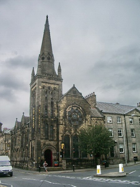
English: The Friary, at the junction of St Leonard Gate (right) and Rosemary Lane (left), Lancaster, Lancashire, seen from the south. The building was completed in 1881 as Centenary Congregational Church. It ceased to be used for worship in 1967. |
| Date | |
| Source | From geograph.org.uk |
| Author | Alexander P Kapp |
| Attribution (required by the license) | Alexander P Kapp / The Friary / |
| Camera location | | View this and other nearby images on: OpenStreetMap |
|---|
_heading:337.00&language=en)
| Object location | | View this and other nearby images on: OpenStreetMap |
|---|
_heading:337.00&language=en)
Licensing
[edit]

|
This image was taken from the Geograph project collection. See this photograph's page on the Geograph website for the photographer's contact details. The copyright on this image is owned by Alexander P Kapp and is licensed for reuse under the Creative Commons Attribution-ShareAlike 2.0 license.
|
This file is licensed under the Creative Commons Attribution-Share Alike 2.0 Generic license.
Attribution: Alexander P Kapp
- You are free:
- to share – to copy, distribute and transmit the work
- to remix – to adapt the work
- Under the following conditions:
- attribution – You must give appropriate credit, provide a link to the license, and indicate if changes were made. You may do so in any reasonable manner, but not in any way that suggests the licensor endorses you or your use.
- share alike – If you remix, transform, or build upon the material, you must distribute your contributions under the same or compatible license as the original.
File history
Click on a date/time to view the file as it appeared at that time.
| Date/Time | Thumbnail | Dimensions | User | Comment | |
|---|---|---|---|---|---|
| current | 17:24, 21 February 2011 | | 480 × 640 (155 KB) | GeographBot (talk | contribs) | == {{int:filedesc}} == {{Information |description={{en|1=The Friary The Friary, formerly the Centenary Congregational Church, which closed in the 1960's}} |date=2008-07-23 |source=From [http://www.geograph.org.uk/photo/896819 geograph.org.uk] |author=[htt |
You cannot overwrite this file.
File usage on Commons
There are no pages that use this file.
File usage on other wikis
The following other wikis use this file:
- Usage on en.wikipedia.org
- Usage on www.wikidata.org
Metadata
Categories:
- 1880s church towers in England
- 1880s churches in Lancashire
- 1880s Gothic Revival churches in England
- Church spires in Lancashire
- Church windows in Lancashire
- Churches in England built in 1881
- Congregational churches in Lancashire
- Former churches in Lancashire
- Former Congregationalist churches in England
- Gothic Revival church towers in Lancashire
- Gothic Revival churches in Lancashire
- Gothic Revival spires in Lancashire
- Gothic Revival tracery windows in England
- Grade II listed churches in Lancashire
- Pinnacles in Lancashire
- Pubs in Lancaster, Lancashire
- Rose windows in England