File:The Alas Building panorama.jpg
Jump to navigation
Jump to search
Size of this preview: 479 × 599 pixels. Other resolutions: 192 × 240 pixels | 384 × 480 pixels | 614 × 768 pixels | 819 × 1,024 pixels | 1,638 × 2,048 pixels | 5,435 × 6,794 pixels.
Original file (5,435 × 6,794 pixels, file size: 19.51 MB, MIME type: image/jpeg)
Captions
Captions
Add a one-line explanation of what this file represents
Summary
[edit]
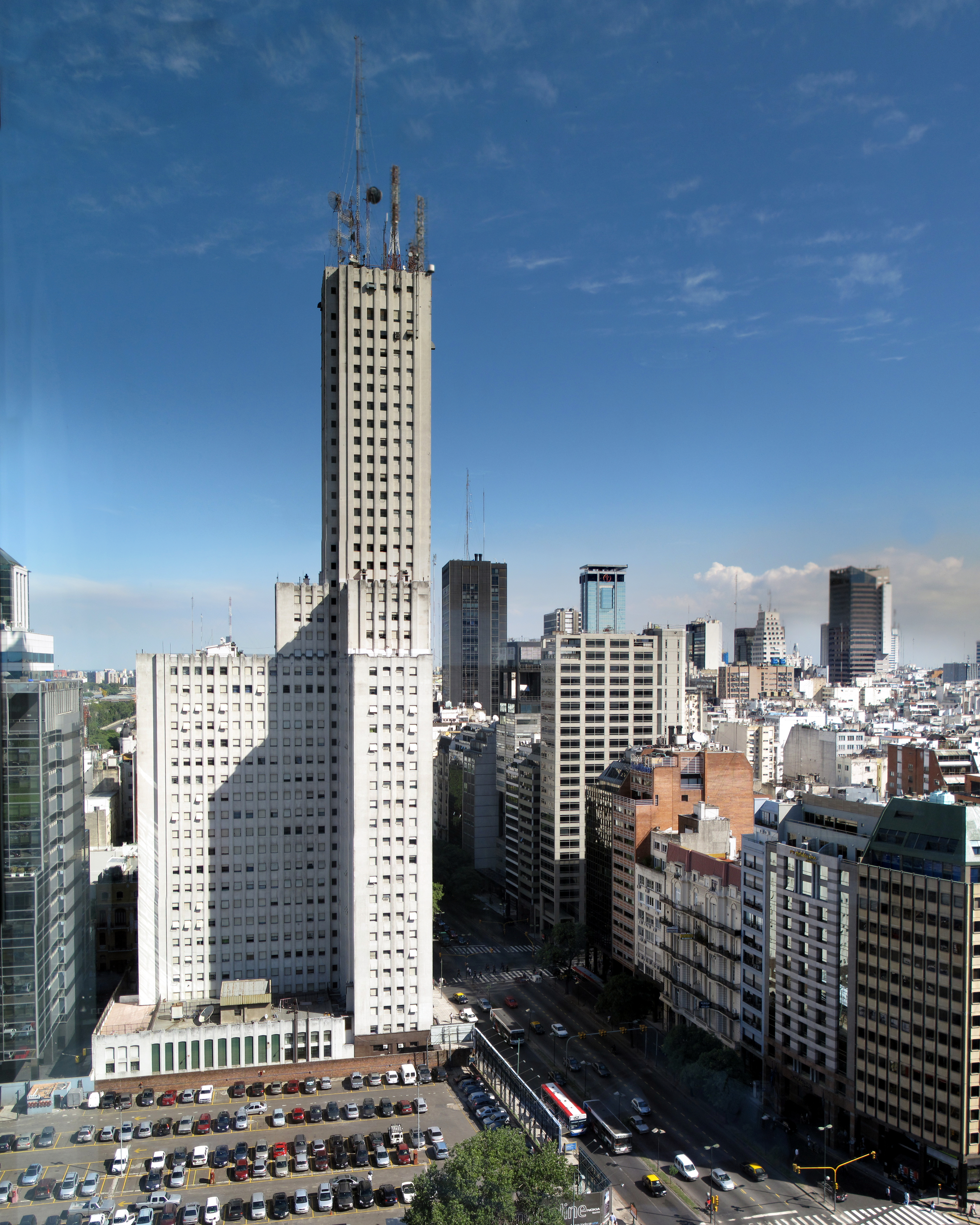
| Description | Alas Building (1950). Buenos Aires, Argentina. 36mpx panorama. |
| Date | |
| Source | The Alas Building |
| Author | Luis Argerich |
| Camera location | | View this and other nearby images on: OpenStreetMap |
|---|
Licensing
[edit]
This file is licensed under the Creative Commons Attribution 2.0 Generic license.
- You are free:
- to share – to copy, distribute and transmit the work
- to remix – to adapt the work
- Under the following conditions:
- attribution – You must give appropriate credit, provide a link to the license, and indicate if changes were made. You may do so in any reasonable manner, but not in any way that suggests the licensor endorses you or your use.
| This image, which was originally posted to Flickr, was uploaded to Commons using Flickr upload bot on 3 September 2009, 04:49 by Sherlock4000. On that date, it was confirmed to be licensed under the terms of the license indicated. |
|
Argentina has no "freedom of panorama" provision in its copyright law. At least some think there is de facto freedom of panorama in Argentina regarding buildings:
|
File history
Click on a date/time to view the file as it appeared at that time.
| Date/Time | Thumbnail | Dimensions | User | Comment | |
|---|---|---|---|---|---|
| current | 04:49, 3 September 2009 | | 5,435 × 6,794 (19.51 MB) | Flickr upload bot (talk | contribs) | Uploaded from http://flickr.com/photo/29638083@N00/3701943968 using Flickr upload bot |
You cannot overwrite this file.
File usage on Commons
The following page uses this file:
File usage on other wikis
The following other wikis use this file:
- Usage on arz.wikipedia.org
- Usage on de.wikipedia.org
- Usage on en.wikipedia.org
- Usage on es.wikipedia.org
- Usage on it.wikipedia.org
- Usage on ja.wikipedia.org
- Usage on ru.wikipedia.org
- Usage on uk.wikipedia.org
- Usage on www.wikidata.org