File:The (old) Weardale Way at Hill End - geograph.org.uk - 1725806.jpg
Jump to navigation
Jump to search

Size of this preview: 800 × 600 pixels. Other resolutions: 320 × 240 pixels | 640 × 480 pixels | 1,024 × 768 pixels | 1,280 × 960 pixels | 2,048 × 1,536 pixels.
Original file (2,048 × 1,536 pixels, file size: 1.52 MB, MIME type: image/jpeg)
Captions
Captions
Add a one-line explanation of what this file represents
Summary
[edit]| Description |
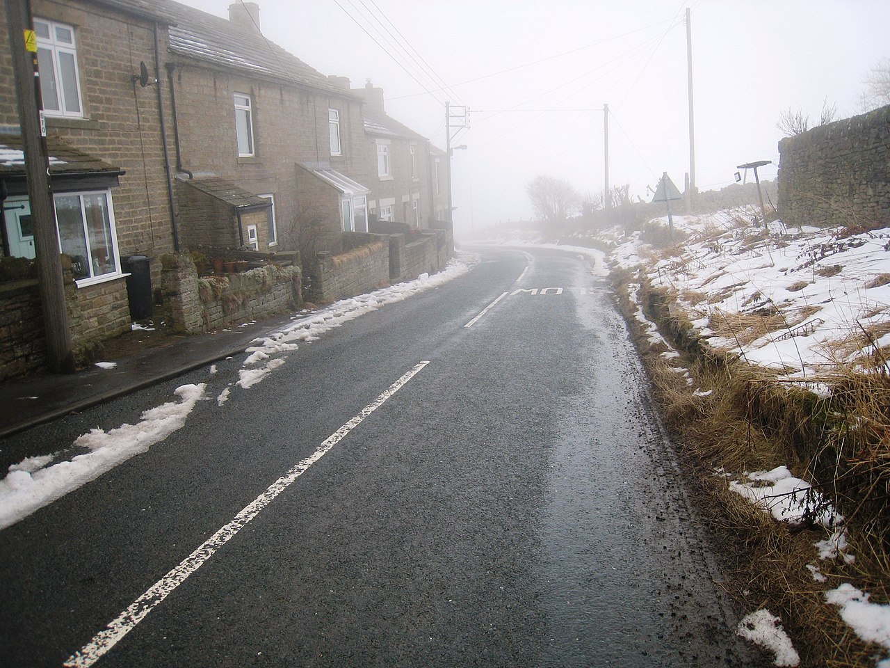
English: The (old) Weardale Way at Hill End This photograph shows a view of the old route of the Weardale Way as it passed through the small village of Hill End near Frosterley. The old route used minor roads for the section between White Kirkley and Hill End (where it went off-road again). The new route (via High Bishopley) minimises the amount of road walking that has to be done on this section - but it still uses a section of road near Hill End. The picture was taken on a misty February day looking in an east-north-easterly direction towards Broadwood Quarry. |
| Date | |
| Source | From geograph.org.uk |
| Author | Philip Barker |
| Attribution (required by the license) | Philip Barker / The (old) Weardale Way at Hill End / |
| Camera location | | View this and other nearby images on: OpenStreetMap |
|---|
| Object location | | View this and other nearby images on: OpenStreetMap |
|---|
Licensing
[edit]
|
This image was taken from the Geograph project collection. See this photograph's page on the Geograph website for the photographer's contact details. The copyright on this image is owned by Philip Barker and is licensed for reuse under the Creative Commons Attribution-ShareAlike 2.0 license.
|
This file is licensed under the Creative Commons Attribution-Share Alike 2.0 Generic license.
Attribution: Philip Barker
- You are free:
- to share – to copy, distribute and transmit the work
- to remix – to adapt the work
- Under the following conditions:
- attribution – You must give appropriate credit, provide a link to the license, and indicate if changes were made. You may do so in any reasonable manner, but not in any way that suggests the licensor endorses you or your use.
- share alike – If you remix, transform, or build upon the material, you must distribute your contributions under the same or compatible license as the original.

_Weardale_Way_at_Hill_End_-_geograph.org.uk_-_1725806.jpg&action=edit§ion=1)
_Weardale_Way_at_Hill_End_-_geograph.org.uk_-_1725806.jpg¶ms=054.719686_N_-001.977920_E_globe:Earth_type:camera_source:geograph-osgb36(NZ0152036076)_heading:67.00&language=en)
_Weardale_Way_at_Hill_End_-_geograph.org.uk_-_1725806.jpg¶ms=054.719760_N_-001.976600_E_globe:Earth_class:object_type:object_source:geograph-osgb36(NZ01603608)_heading:67.00&language=en)
_Weardale_Way_at_Hill_End_-_geograph.org.uk_-_1725806.jpg&action=edit§ion=2)
_Weardale_Way_at_Hill_End_-_geograph.org.uk_-_1725806.jpg&action=edit&withJS=MediaWiki:Catcheck.js)
File history
Click on a date/time to view the file as it appeared at that time.
| Date/Time | Thumbnail | Dimensions | User | Comment | |
|---|---|---|---|---|---|
| current | 13:06, 5 March 2011 | | 2,048 × 1,536 (1.52 MB) | GeographBot (talk | contribs) | == {{int:filedesc}} == {{Information |description={{en|1=The (old) Weardale Way at Hill End This photograph shows a view of the old route of the Weardale Way as it passed through the small village of Hill End near Frosterley. The old route used minor road |
You cannot overwrite this file.
File usage on Commons
There are no pages that use this file.
_Weardale_Way_at_Hill_End_-_geograph.org.uk_-_1725806.jpg&oldid=694226215)