File:Thaur from south.JPG
Jump to navigation
Jump to search
Size of this preview: 800 × 448 pixels. Other resolutions: 320 × 179 pixels | 640 × 359 pixels | 1,024 × 574 pixels | 1,280 × 717 pixels | 2,898 × 1,624 pixels.
Original file (2,898 × 1,624 pixels, file size: 2.8 MB, MIME type: image/jpeg)
Captions
Captions
Add a one-line explanation of what this file represents
Summary
[edit]
| Description |
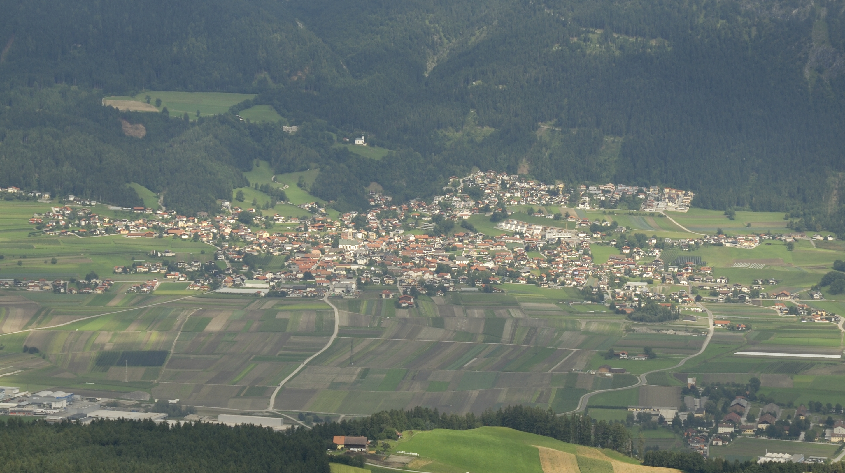
English: Thaur from south (from the way to the Rinner Alm) |
| Date | |
| Source | Own work |
| Author | Haneburger |
| Camera location | | View this and other nearby images on: OpenStreetMap |
|---|
Licensing
[edit]
| I, the copyright holder of this work, release this work into the public domain. This applies worldwide. In some countries this may not be legally possible; if so: I grant anyone the right to use this work for any purpose, without any conditions, unless such conditions are required by law. |
| Annotations | This image is annotated: View the annotations at Commons |
File history
Click on a date/time to view the file as it appeared at that time.
| Date/Time | Thumbnail | Dimensions | User | Comment | |
|---|---|---|---|---|---|
| current | 17:03, 8 August 2010 | | 2,898 × 1,624 (2.8 MB) | Haneburger (talk | contribs) | {{Information |Description={{en|1=Thaur from south (from the way to the Rinner Alm)}} |Source={{own}} |Author=Haneburger |Date=2010-08-08 |Permission= |other_versions= }} {{location|47|14|21.47|N|11|30|26.35|E|region:AT_heading:NNW}} [ |
You cannot overwrite this file.
File usage on Commons
The following page uses this file:
File usage on other wikis
The following other wikis use this file:
- Usage on de.wikipedia.org
- Usage on kk.wikipedia.org
- Usage on ru.wikipedia.org