File:Thal08 Die Wanderwege um Thal.JPG
Jump to navigation
Jump to search

Size of this preview: 800 × 570 pixels. Other resolutions: 320 × 228 pixels | 640 × 456 pixels | 1,024 × 730 pixels | 1,280 × 912 pixels | 1,975 × 1,407 pixels.
Original file (1,975 × 1,407 pixels, file size: 2.15 MB, MIME type: image/jpeg)
Captions
Captions
Add a one-line explanation of what this file represents
Summary
[edit]
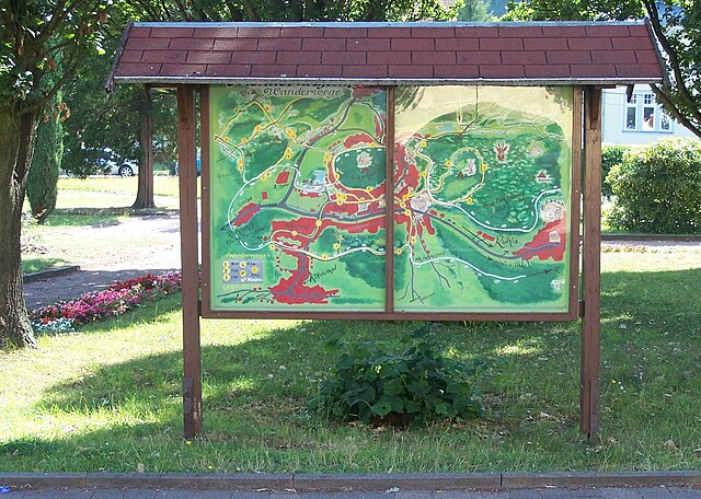
| Description | Der im Bild dargestellte Plan befand sich 2008 vor dem Hotel Thalfried am Alten Kurpark im Ruhla Stadtteil Thal. Der handgemalte Plan zeigt die Ortslage von Thal und die Wanderwege und Sehenswürdigkeiten in der Umgebung. Als Folge der Witterungseinflüsse wurde diese Karte unansehlich und schadhaft und wurde entfernt. |
| Date | |
| Source | Own work |
| Author | EACC80 |
|
The photographical reproduction of this work is covered under the article § 59 of the German copyright law, which states that "It shall be permissible to reproduce, by painting, drawing, photography or cinematography, works which are permanently located on public ways, streets or places and to distribute and publicly communicate such copies. For works of architecture, this provision shall be applicable only to the external appearance."
As with all other “limits of copyright by legally permitted uses”, no changes to the actual work are permitted under § 62 of the German copyright law (UrhG). See Commons:Copyright rules by territory/Germany#Freedom of panorama for more information.
|
Licensing
[edit]
I, the copyright holder of this work, hereby publish it under the following licenses:

|
Permission is granted to copy, distribute and/or modify this document under the terms of the GNU Free Documentation License, Version 1.2 or any later version published by the Free Software Foundation; with no Invariant Sections, no Front-Cover Texts, and no Back-Cover Texts. A copy of the license is included in the section entitled GNU Free Documentation License. |
This file is licensed under the Creative Commons Attribution 3.0 Unported license.
- You are free:
- to share – to copy, distribute and transmit the work
- to remix – to adapt the work
- Under the following conditions:
- attribution – You must give appropriate credit, provide a link to the license, and indicate if changes were made. You may do so in any reasonable manner, but not in any way that suggests the licensor endorses you or your use.
You may select the license of your choice.
File history
Click on a date/time to view the file as it appeared at that time.
| Date/Time | Thumbnail | Dimensions | User | Comment | |
|---|---|---|---|---|---|
| current | 09:20, 20 February 2024 | | 1,975 × 1,407 (2.15 MB) | EACC80 (talk | contribs) | == {{int:filedesc}} == {{Information |Description=Der im Bild dargestellte Plan befand sich 2008 vor dem Hotel Thalfried am Alten Kurpark im Ruhla Stadtteil Thal. Der handgemalte Plan zeigt die Ortslage von Thal und die Wanderwege und Sehenswürdigkeiten in der Umgebung. Als Folge der Witterungseinflüsse wurde diese Karte unansehlich und schadhaft und wurde entfernt. |Source={{own}} |Date=2008 |Author= EACC80 |Permission= |other_versions= }} {{FoP-Germany}} == {{int:license... |
You cannot overwrite this file.
File usage on Commons
There are no pages that use this file.