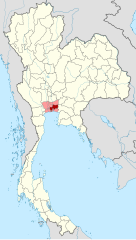
File:Thailand Bangkok and vicinity.svg
Jump to navigation
Jump to search

Size of this PNG preview of this SVG file: 341 × 600 pixels. Other resolutions: 136 × 240 pixels | 273 × 480 pixels | 436 × 768 pixels | 582 × 1,024 pixels | 1,164 × 2,048 pixels | 1,051 × 1,849 pixels.
Original file (SVG file, nominally 1,051 × 1,849 pixels, file size: 1 MB)
Captions
Captions
Add a one-line explanation of what this file represents
Summary
[edit]
| Description |
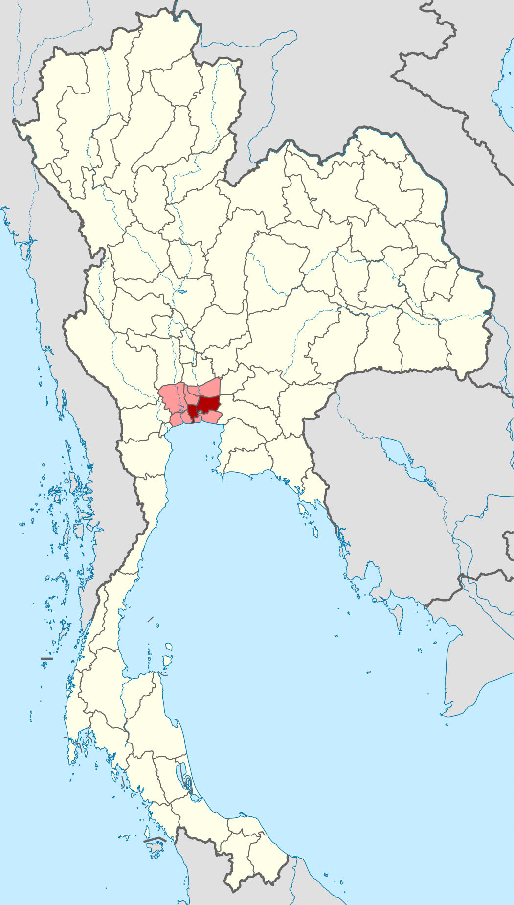
English: A map of Thailand showing Bangkok in dark red. Other provinces which are considered to be a part of Bangkok Metropolitan Region is shown in light red. |
| Date | |
| Source | Based on BlankMap-Thailand-provinces.svg and Thailand Bangkok and vicinity.png |
| Author | Own work |
Licensing
[edit]
This file is licensed under the Creative Commons Attribution-Share Alike 3.0 Unported license.
- You are free:
- to share – to copy, distribute and transmit the work
- to remix – to adapt the work
- Under the following conditions:
- attribution – You must give appropriate credit, provide a link to the license, and indicate if changes were made. You may do so in any reasonable manner, but not in any way that suggests the licensor endorses you or your use.
- share alike – If you remix, transform, or build upon the material, you must distribute your contributions under the same or compatible license as the original.
File history
Click on a date/time to view the file as it appeared at that time.
| Date/Time | Thumbnail | Dimensions | User | Comment | |
|---|---|---|---|---|---|
| current | 06:41, 2 August 2022 | | 1,051 × 1,849 (1 MB) | ILikelargeFries (talk | contribs) | Uploaded a work by {{Own}} from Based on BlankMap-Thailand-provinces.svg and Thailand Bangkok and vicinity.png with UploadWizard |
You cannot overwrite this file.
File usage on Commons
The following page uses this file:
File usage on other wikis
The following other wikis use this file:
- Usage on th.wikipedia.org