File:Terminopuertoreal.png
Jump to navigation
Jump to search
Size of this preview: 800 × 462 pixels. Other resolutions: 320 × 185 pixels | 640 × 370 pixels | 1,148 × 663 pixels.
Original file (1,148 × 663 pixels, file size: 210 KB, MIME type: image/png)
Captions
Captions
Add a one-line explanation of what this file represents
Summary
[edit]
| Description |
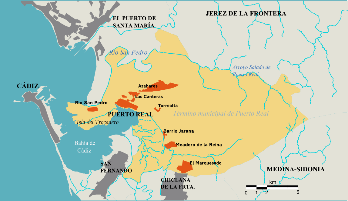
Español: Mapa del Término Municipal de Puerto Real (Cádiz). |
| Source | Trabajo propio, basado en datos del Instituto Cartográfico de Andalucía |
| Author | NACLE |
Licensing
[edit]
I, the copyright holder of this work, hereby publish it under the following licenses:

|
Permission is granted to copy, distribute and/or modify this document under the terms of the GNU Free Documentation License, Version 1.2 or any later version published by the Free Software Foundation; with no Invariant Sections, no Front-Cover Texts, and no Back-Cover Texts. A copy of the license is included in the section entitled GNU Free Documentation License. |
| This file is licensed under the Creative Commons Attribution-Share Alike 3.0 Unported license. | ||
| ||
| This licensing tag was added to this file as part of the GFDL licensing update. |
You may select the license of your choice.
File history
Click on a date/time to view the file as it appeared at that time.
| Date/Time | Thumbnail | Dimensions | User | Comment | |
|---|---|---|---|---|---|
| current | 21:25, 25 February 2009 | | 1,148 × 663 (210 KB) | NACLE2 (talk | contribs) | I changed the colours |
| 21:22, 25 February 2009 |  | 1,148 × 663 (210 KB) | NACLE2 (talk | contribs) | ||
| 19:47, 20 February 2009 |  | 1,148 × 663 (241 KB) | NACLE2 (talk | contribs) | ||
| 19:30, 20 February 2009 |  | 1,148 × 663 (239 KB) | NACLE2 (talk | contribs) | {{Information |Description={{es|1=Mapa del Término Municipal de Puerto Real}} |Source=Trabajo propio, basado en datos del Instituto Cartográfico de Andalucía |Author=NACLE |Date= |Permission= |other_versions= }} <!--{{ImageUpload|full}}--> [[Category: |
You cannot overwrite this file.
File usage on Commons
There are no pages that use this file.