File:Tennessee Creek.JPG
Jump to navigation
Jump to search

Size of this preview: 708 × 600 pixels. Other resolutions: 283 × 240 pixels | 567 × 480 pixels | 907 × 768 pixels | 1,209 × 1,024 pixels | 2,418 × 2,048 pixels | 3,817 × 3,233 pixels.
Original file (3,817 × 3,233 pixels, file size: 7.59 MB, MIME type: image/jpeg)
Captions
Captions
Add a one-line explanation of what this file represents
Summary
[edit]
| Description |
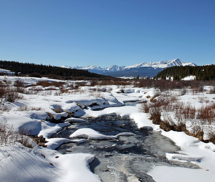
English: Tennessee Creek, just south of Lake County Road 9, near Leadville, Colorado, just before it joins the East Fork Arkansas River to form the Arkansas River. The mountain in the background is Mount Elbert. |
| Date | |
| Source | Own work |
| Author | Jeffrey Beall |
| Camera location | | View this and other nearby images on: OpenStreetMap |
|---|
Licensing
[edit]
I, the copyright holder of this work, hereby publish it under the following license:
This file is licensed under the Creative Commons Attribution 3.0 Unported license.
- You are free:
- to share – to copy, distribute and transmit the work
- to remix – to adapt the work
- Under the following conditions:
- attribution – You must give appropriate credit, provide a link to the license, and indicate if changes were made. You may do so in any reasonable manner, but not in any way that suggests the licensor endorses you or your use.
File history
Click on a date/time to view the file as it appeared at that time.
| Date/Time | Thumbnail | Dimensions | User | Comment | |
|---|---|---|---|---|---|
| current | 12:24, 8 March 2016 | | 3,817 × 3,233 (7.59 MB) | Jeffrey Beall (talk | contribs) | {{Information |Description ={{en|1=Tennessee Creek, just south of Lake County Road 9, near Leadville, Colorado, just before it joins the East Fork Arkansas River to form the Arkansas River. The mountain in the background is Mount Elbert. }} |Source... |
You cannot overwrite this file.
File usage on Commons
There are no pages that use this file.
File usage on other wikis
The following other wikis use this file:
- Usage on en.wikipedia.org
- Usage on www.wikidata.org