File:TeilungsplanMariazellHalltal29.png
Jump to navigation
Jump to search
Size of this preview: 800 × 408 pixels. Other resolutions: 320 × 163 pixels | 640 × 327 pixels | 1,320 × 674 pixels.
Original file (1,320 × 674 pixels, file size: 750 KB, MIME type: image/png)
Captions
Captions
Add a one-line explanation of what this file represents
Summary
[edit]
| Description |
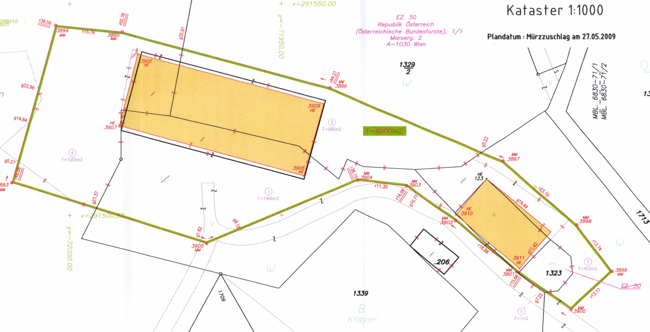
Deutsch: Grundgrenzen und Gebäude lt. Kataster Halltal 29 bis 2010 (schwarz) und ab 2010 (rot-grün) |
| Date | |
| Source | Öffentliche Planurkunde des Vermessungsamtes Bruck an der Mur, Österreich |
| Author | VA Bruck/Mur |
Licensing
[edit]
| This work is ineligible for copyright and therefore in the public domain because it consists entirely of information that is common property and contains no original authorship. |
File history
Click on a date/time to view the file as it appeared at that time.
| Date/Time | Thumbnail | Dimensions | User | Comment | |
|---|---|---|---|---|---|
| current | 08:41, 31 August 2018 | | 1,320 × 674 (750 KB) | TheRunnerUp (talk | contribs) | User created page with UploadWizard |
You cannot overwrite this file.
File usage on Commons
The following page uses this file: