File:Tauberbischofsheim Rathaus BW 2014-09-30 15-40-24.jpg
Jump to navigation
Jump to search

Size of this preview: 786 × 599 pixels. Other resolutions: 315 × 240 pixels | 630 × 480 pixels | 1,007 × 768 pixels | 1,280 × 976 pixels | 2,560 × 1,953 pixels | 3,308 × 2,523 pixels.
Original file (3,308 × 2,523 pixels, file size: 3.6 MB, MIME type: image/jpeg)
Captions
Captions
Add a one-line explanation of what this file represents
Summary
[edit]
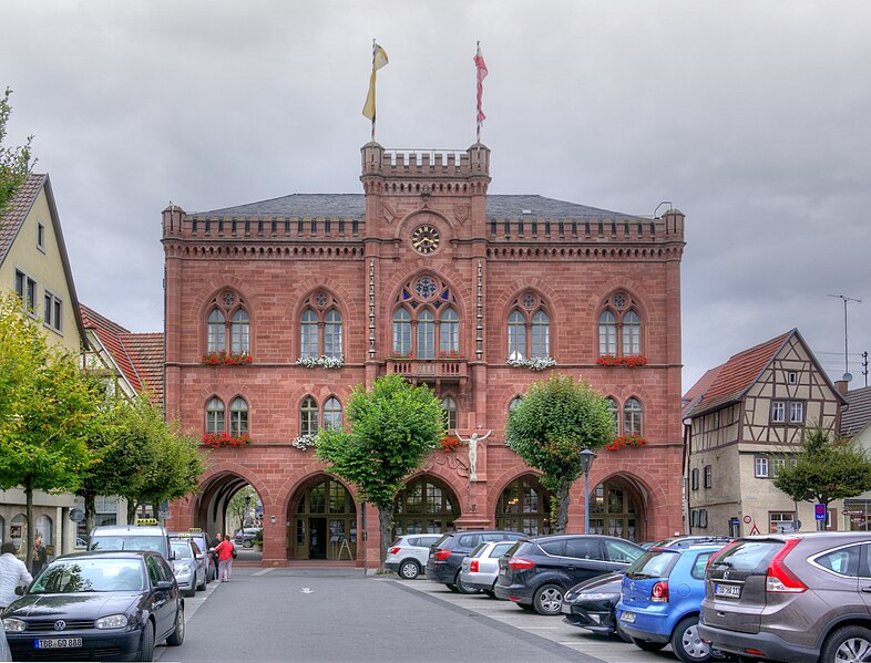
| Description | Tauberbischofsheim, Rathaus |
| Date | |
| Source | Own work |
| Author | Berthold Werner |
| Other versions | http://www.bildindex.de/document/obj20425665?part=0&medium=ladbw-01132-01 |
| Openstreetmap entry | Link to Openstreetmap |
| Object location | | View this and other nearby images on: OpenStreetMap |
|---|
| Camera location | | View this and other nearby images on: OpenStreetMap |
|---|
Licensing
[edit]
This file is licensed under the Creative Commons Attribution-Share Alike 3.0 Unported license.
Attribution: Berthold Werner
- You are free:
- to share – to copy, distribute and transmit the work
- to remix – to adapt the work
- Under the following conditions:
- attribution – You must give appropriate credit, provide a link to the license, and indicate if changes were made. You may do so in any reasonable manner, but not in any way that suggests the licensor endorses you or your use.
- share alike – If you remix, transform, or build upon the material, you must distribute your contributions under the same or compatible license as the original.

|
This image has been assessed under the valued image criteria and is considered the most valued image on Commons within the scope: Townhall of Tauberbischofsheim, facade. You can see its nomination here. |
File history
Click on a date/time to view the file as it appeared at that time.
| Date/Time | Thumbnail | Dimensions | User | Comment | |
|---|---|---|---|---|---|
| current | 13:13, 6 October 2014 | | 3,308 × 2,523 (3.6 MB) | Berthold Werner (talk | contribs) | VicuñaUploader 1.20 |
You cannot overwrite this file.
File usage on Commons
The following 12 pages use this file:
- Tauberbischofsheim
- User:Berthold Werner/Tauberbischofsheim
- User:Berthold Werner/ValuedImages
- User:Rosenzweig/NewFiles/2014 October 1-10
- User:Triplec85/Tauberbischofsheim by year
- Commons:Files used on OpenStreetMap/67
- Commons:Quality images candidates/Archives May 15 2015
- Commons:Valued image candidates/Tauberbischofsheim BW 2014-09-30 15-40-24.jpg
- File:Tauberbischofsheim BW 2014-09-30 15-40-24.jpg (file redirect)
- Category:Interior of Rathaus Tauberbischofsheim
- Category:Rathaus Tauberbischofsheim
- Category:Views of Rathaus Tauberbischofsheim
File usage on other wikis
The following other wikis use this file:
- Usage on azb.wikipedia.org
- Usage on de.wikipedia.org
- Tauberbischofsheim
- Jakobsweg Main-Taubertal
- Benutzer:Triplec85/Liste der Kulturdenkmale in Tauberbischofsheim-Stadt
- Liste der Straßennamen von Tauberbischofsheim
- Benutzer:Triplec85/BW-TBB-Tauberbischofsheim
- Benutzer:Triplec85/BW-TBB-Rathaus
- Benutzer:Triplec85/BW-TBB-Gebäude
- Liste von Rathäusern im Main-Tauber-Kreis
- Usage on de.wikivoyage.org
- Usage on en.wikivoyage.org
- Usage on es.wikipedia.org
- Usage on no.wikipedia.org
- Usage on www.wikidata.org
Metadata
Categories:
- Rathaus Tauberbischofsheim in 2014
- Clouds over Rathaus Tauberbischofsheim
- Marktplatz Tauberbischofsheim in 2014
- Clouds over Marktplatz (Tauberbischofsheim)
- Views of Rathaus Tauberbischofsheim
- Buildings with flags of Baden-Württemberg in Tauberbischofsheim
- Masts in Tauberbischofsheim
- Clouds in Main-Tauber-Kreis in September 2014
- Clouds in Tauberbischofsheim in September