File:Tasmania location map alt.png
Jump to navigation
Jump to search
No higher resolution available.
Tasmania_location_map_alt.png (432 × 580 pixels, file size: 8 KB, MIME type: image/png)
Captions
Captions
Add a one-line explanation of what this file represents

|
This map image could be re-created using vector graphics as an SVG file. This has several advantages; see Commons:Media for cleanup for more information. If an SVG form of this image is available, please upload it and afterwards replace this template with
{{vector version available|new image name}}.
It is recommended to name the SVG file “Tasmania location map alt.svg”—then the template Vector version available (or Vva) does not need the new image name parameter. |
Summary
[edit]
| Description |
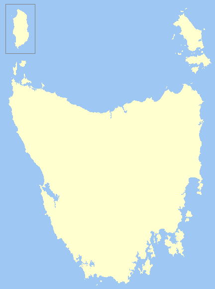
English: Alternate version of Tasmania_location_map.png. I found the original to be stretched incorrectly. I did not want to replace the other file as it is probably being used as a locator map and a change of file would cause inaccuracies wherever it is used - toolserver currently has issues which prevents me from checking where it is used. |
| Date | |
| Source | Own work |
| Author | Chuq |
Licensing
[edit]
| I, the copyright holder of this work, release this work into the public domain. This applies worldwide. In some countries this may not be legally possible; if so: I grant anyone the right to use this work for any purpose, without any conditions, unless such conditions are required by law. |
File history
Click on a date/time to view the file as it appeared at that time.
| Date/Time | Thumbnail | Dimensions | User | Comment | |
|---|---|---|---|---|---|
| current | 07:01, 12 June 2008 | | 432 × 580 (8 KB) | Chuq (talk | contribs) | {{Information |Description={{en|1=Alternate version of Tasmania_location_map.png. I found the original to be stretched incorrectly. I did not want to replace the other file as it is probably being used as a locator map and a change of file would cause i |
You cannot overwrite this file.
File usage on Commons
There are no pages that use this file.
File usage on other wikis
The following other wikis use this file: