File:Taruska (river).jpg
Jump to navigation
Jump to search

Size of this preview: 800 × 535 pixels. Other resolutions: 320 × 214 pixels | 640 × 428 pixels | 900 × 602 pixels.
Original file (900 × 602 pixels, file size: 322 KB, MIME type: image/jpeg)
Captions
Captions
Add a one-line explanation of what this file represents
Summary
[edit].jpg&action=edit§ion=1)
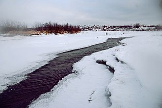
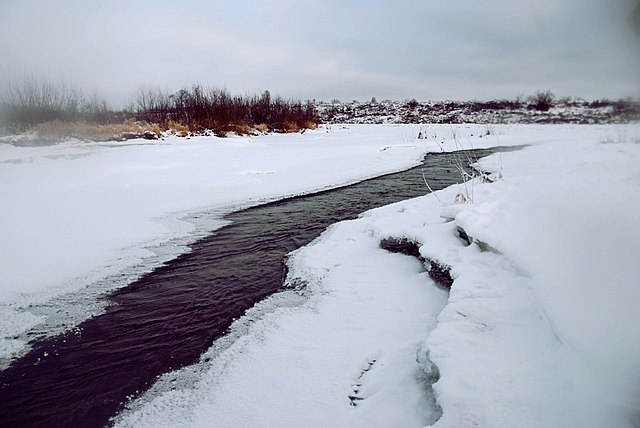
| Description | Таруска |
| Source | Таруска |
| Author | LizaZhitskaya |
| Camera location | | View this and other nearby images on: OpenStreetMap |
|---|
.jpg¶ms=054.731658_N_0037.180824_E_globe:Earth_type:camera_source:panoramio_&language=en)
Licensing
[edit].jpg&action=edit§ion=2)
This file is licensed under the Creative Commons Attribution 3.0 Unported license.
- You are free:
- to share – to copy, distribute and transmit the work
- to remix – to adapt the work
- Under the following conditions:
- attribution – You must give appropriate credit, provide a link to the license, and indicate if changes were made. You may do so in any reasonable manner, but not in any way that suggests the licensor endorses you or your use.
| This image, which was originally posted to Panoramio, was reviewed on 21 August 2011 by the administrator or trusted user Hoangquan hientrang, who confirmed that it was available on Panoramio under the above license on that date. |
File history
Click on a date/time to view the file as it appeared at that time.
| Date/Time | Thumbnail | Dimensions | User | Comment | |
|---|---|---|---|---|---|
| current | 04:47, 21 August 2011 | | 900 × 602 (322 KB) | Fgdcvd (talk | contribs) | {{Information |Description=Таруска |Source=[http://www.panoramio.com/photo/18284303 Таруска] |Date= |Author=[http://www.panoramio.com/user/1679954 LizaZhitskaya] |Permission= |other_versions= }} {{Location dec|54.731658|37.180824|source:pano |
You cannot overwrite this file.
File usage on Commons
The following page uses this file:
File usage on other wikis
The following other wikis use this file:
- Usage on ceb.wikipedia.org
- Usage on cv.wikipedia.org
- Usage on uk.wikipedia.org
- Usage on www.wikidata.org
.jpg&oldid=714917688)