File:Tapurah map.jpg
Jump to navigation
Jump to search
No higher resolution available.
Tapurah_map.jpg (590 × 399 pixels, file size: 107 KB, MIME type: image/jpeg)
Captions
Captions
Add a one-line explanation of what this file represents
Summary
[edit]
| Description |
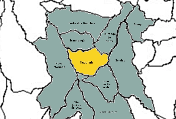
English: Tapurah, Mato Grosso, Brasil, Map.
Português: Tapurah, Mato Grosso, Brasil, Mapa. |
| Source | Own work |
| Author | Jeanalencar.s |
Licensing
[edit]
| I, the copyright holder of this work, release this work into the public domain. This applies worldwide. In some countries this may not be legally possible; if so: I grant anyone the right to use this work for any purpose, without any conditions, unless such conditions are required by law. |
File history
Click on a date/time to view the file as it appeared at that time.
| Date/Time | Thumbnail | Dimensions | User | Comment | |
|---|---|---|---|---|---|
| current | 16:43, 25 December 2010 | | 590 × 399 (107 KB) | Jeanalencar.s (talk | contribs) | {{Information |Description={{en|1=Tapurah, Mato Grosso, Brasil, Map.}} {{pt|1=Tapurah, Mato Grosso, Brasil, Mapa.}} |Source={{own}} |Author=Jeanalencar.s |Date= |Permission= |other_versions= }} |
You cannot overwrite this file.
File usage on Commons
There are no pages that use this file.
File usage on other wikis
The following other wikis use this file:
- Usage on pt.wikipedia.org