File:Tanugumisan Kegonji temple , 谷汲山華厳寺 - panoramio (41).jpg
Jump to navigation
Jump to search
Size of this preview: 800 × 527 pixels. Other resolutions: 320 × 211 pixels | 640 × 422 pixels | 1,024 × 675 pixels | 1,280 × 844 pixels | 2,427 × 1,600 pixels.
Original file (2,427 × 1,600 pixels, file size: 821 KB, MIME type: image/jpeg)
Captions
Captions
Add a one-line explanation of what this file represents
Summary
[edit].jpg&action=edit§ion=1)
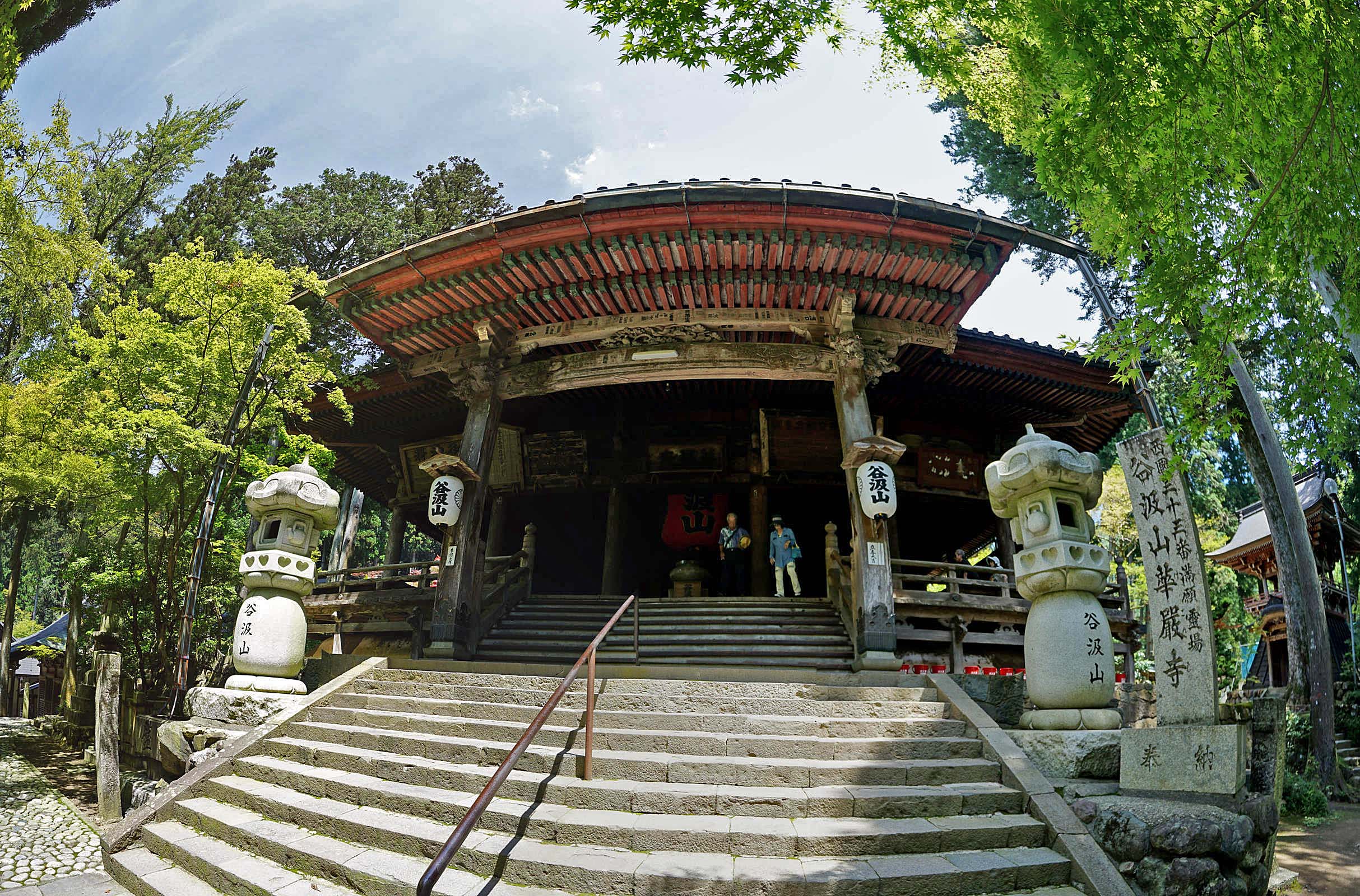
| Description | Tanugumisan Kegonji temple , 谷汲山華厳寺 | ||
| Date | Taken on 26 July 2015 | ||
| Source | https://web.archive.org/web/20161031184137/http://www.panoramio.com/photo/122440018 | ||
| Author | z tanuki | ||
| Permission (Reusing this file) |
This file is licensed under the Creative Commons Attribution 3.0 Unported license. Attribution: z tanuki
|
||
| Panoramio Tags | Ibigawa, 2015, Shrine & Temple 社寺仏閣, 岐阜県, 揖斐川町, 日本 |
| Camera location | | View this and other nearby images on: OpenStreetMap |
|---|
.jpg¶ms=035.536961_N_0136.607849_E_globe:Earth_type:camera_source:Panoramio_&language=en)
File history
Click on a date/time to view the file as it appeared at that time.
| Date/Time | Thumbnail | Dimensions | User | Comment | |
|---|---|---|---|---|---|
| current | 19:03, 5 June 2017 | | 2,427 × 1,600 (821 KB) | Panoramio upload bot (talk | contribs) | == {{int:filedesc}} == {{Information |description=Tanugumisan Kegonji temple , 谷汲山華厳寺 |date={{Taken on|2015-07-26}} |source=http://www.panoramio.com/photo/122440018 |author=[http://www.panoramio.com/user/238971?with_photo_id=122440018 z tan... |
You cannot overwrite this file.
File usage on Commons
There are no pages that use this file.
.jpg&oldid=768032910)