File:Takakuma Mountains from Kotobuki Kanoya.jpg
Jump to navigation
Jump to search
Size of this preview: 800 × 450 pixels. Other resolutions: 320 × 180 pixels | 640 × 360 pixels | 1,024 × 576 pixels | 1,280 × 720 pixels | 3,328 × 1,872 pixels.
Original file (3,328 × 1,872 pixels, file size: 940 KB, MIME type: image/jpeg)
Captions
Captions
Add a one-line explanation of what this file represents
Summary
[edit]
| Description |
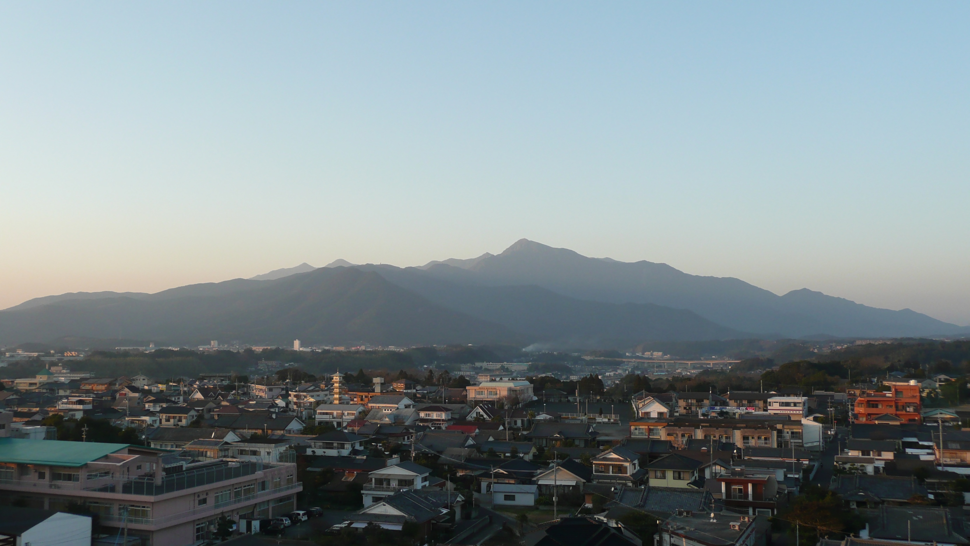
日本語:* 2008/1/4 高隈山地(九州、日本) 鹿児島県鹿屋市寿地区から撮影。鹿屋市街地からでは御岳が最高峰のように見える。
|
| Date | |
| Source | Own work |
| Author | Sanjo |
| Camera location | | View this and other nearby images on: OpenStreetMap |
|---|
Licensing
[edit]
| I, the copyright holder of this work, release this work into the public domain. This applies worldwide. In some countries this may not be legally possible; if so: I grant anyone the right to use this work for any purpose, without any conditions, unless such conditions are required by law. |
File history
Click on a date/time to view the file as it appeared at that time.
| Date/Time | Thumbnail | Dimensions | User | Comment | |
|---|---|---|---|---|---|
| current | 12:57, 7 January 2008 | | 3,328 × 1,872 (940 KB) | Sanjo (talk | contribs) | * 2008/1/4 高隈山地(九州、日本) 鹿児島県鹿屋市寿地区から撮影。鹿屋市街地からでは御岳が最高峰のように見える。 * 画像中央には鹿屋大橋が、判別が難しいが山腹にレーダーサイト� |
You cannot overwrite this file.
File usage on Commons
There are no pages that use this file.
File usage on other wikis
The following other wikis use this file:
- Usage on ja.wikipedia.org