File:Taal volcano blanket ash ESA435812 01.jpg
Original file (2,307 × 1,765 pixels, file size: 992 KB, MIME type: image/jpeg)
Captions
Captions
Summary
[edit]
| Description |
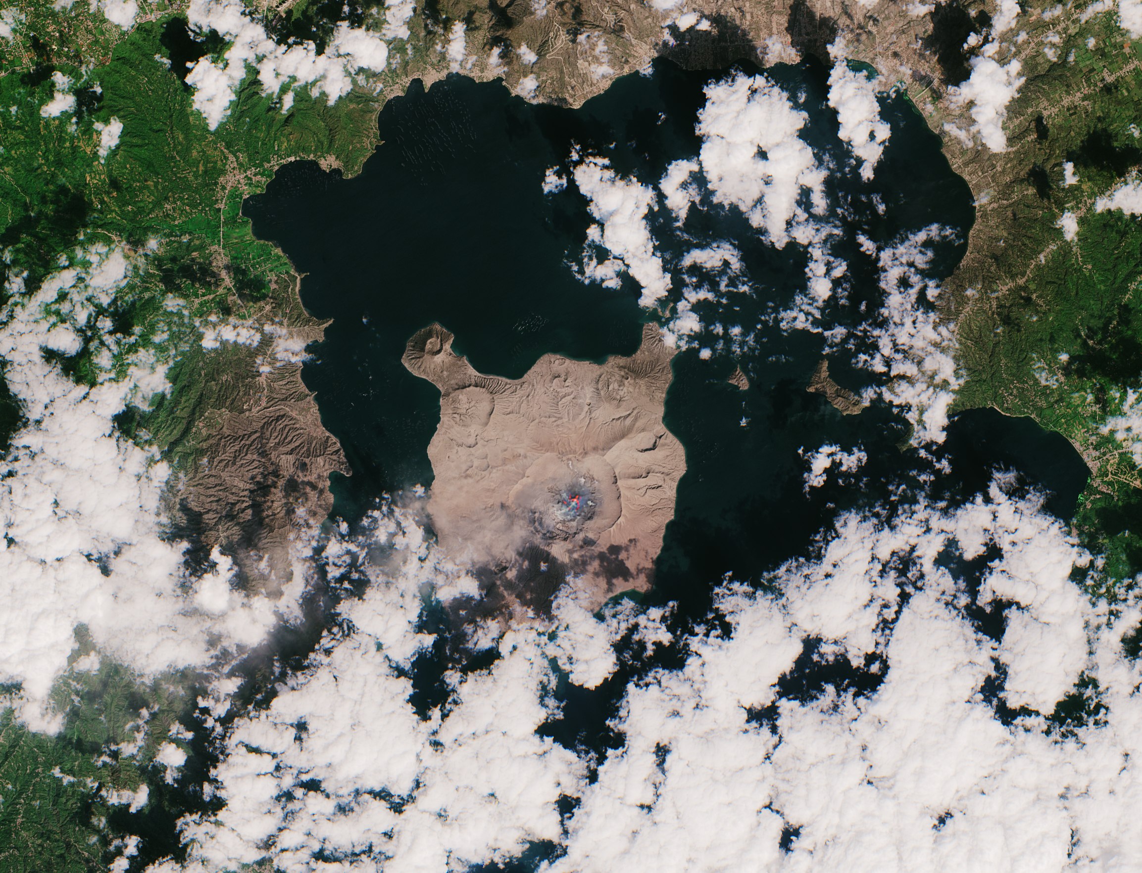
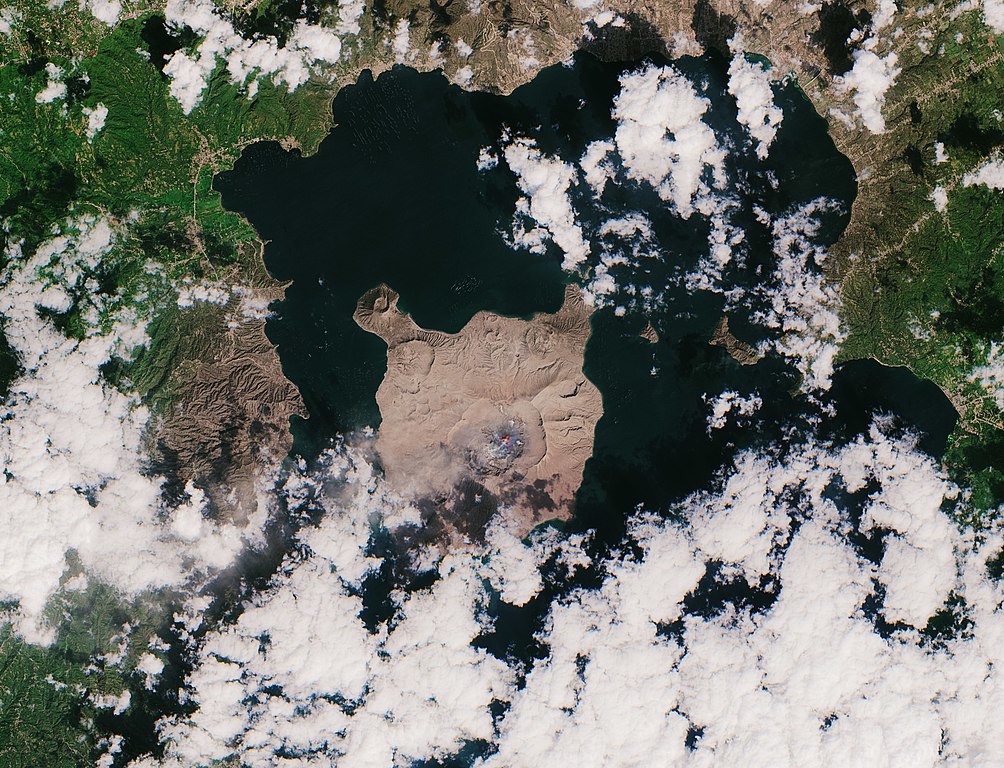
English: The Philippines’ Taal volcano erupted on 12 January 2020 – spewing an ash plume approximately 15 km high and forcing large-scale evacuations in the nearby area.
This almost cloud-free image was captured today 23 January at 02:20 GMT (10:20 local time) by the Copernicus Sentinel-2 mission, and shows the island, in the centre of the image, completely covered in a thick layer of ash. This optical image has also been processed using the mission’s short-wave infrared band to show the ongoing activity in the crater, visible in bright red. Ash blown by strong winds can be seen in Agoncillo, visible southwest of the Taal volcano. Ash has also been recorded in other areas of the Batangas province, as well as Manila and Quezon. According to The Philippine Institute of Volcanology and Seismology bulletin published today, sulphur dioxide emissions were measured at an average of around 140 tonnes. The Taal volcano still remains on alert level four, meaning an explosive eruption is possible in the coming hours or days. The highest alert level is five which indicates an eruption is taking place. According to the National Disaster Risk Reduction and Management Council, over 50 000 people have been affected so far. In response to the eruption, the Copernicus Emergency Mapping Service was activated. The service uses satellite observations to help civil protection authorities and, in cases of disaster, the international humanitarian community, respond to emergencies. |
| Date | |
| Source | https://www.esa.int/ESA_Multimedia/Images/2020/01/Taal_volcano_blanketed_by_ash |
| Author | European Space Agency |
| Permission (Reusing this file) |
contains modified Copernicus Sentinel data (2020), processed by ESA, CC BY-SA 3.0 IGO |
| Other versions |
|
| Title | Taal volcano blanketed by ash |
| System | Copernicus |
| Mission | Sentinel-2 |
| Activity | Copernicus Emergency Management Service |
| Camera location | | View this and other nearby images on: OpenStreetMap |
|---|
Licensing
[edit]
- You are free:
- to share – to copy, distribute and transmit the work
- to remix – to adapt the work
- Under the following conditions:
- attribution – You must give appropriate credit, provide a link to the license, and indicate if changes were made. You may do so in any reasonable manner, but not in any way that suggests the licensor endorses you or your use.
- share alike – If you remix, transform, or build upon the material, you must distribute your contributions under the same or compatible license as the original.

|
This image contains data from a satellite in the Copernicus Programme, such as Sentinel-1, Sentinel-2 or Sentinel-3. Attribution is required when using this image.
Attribution: Contains modified Copernicus Sentinel data 2020
The use of Copernicus Sentinel Data is regulated under EU law (Commission Delegated Regulation (EU) No 1159/2013 and Regulation (EU) No 377/2014). Relevant excerpts:
Free access shall be given to GMES dedicated data [...] made available through GMES dissemination platforms [...].
Access to GMES dedicated data [...] shall be given for the purpose of the following use in so far as it is lawful:
GMES dedicated data [...] may be used worldwide without limitations in time.
GMES dedicated data and GMES service information are provided to users without any express or implied warranty, including as regards quality and suitability for any purpose. |
File history
Click on a date/time to view the file as it appeared at that time.
| Date/Time | Thumbnail | Dimensions | User | Comment | |
|---|---|---|---|---|---|
| current | 02:24, 18 April 2022 | | 2,307 × 1,765 (992 KB) | Don-vip (talk | contribs) | larger resolution from TIFF file |
| 14:42, 25 January 2020 |  | 923 × 706 (1.12 MB) | Chihciboy (talk | contribs) | User created page with UploadWizard |
You cannot overwrite this file.
File usage on Commons
The following 3 pages use this file: