File:Ta Wean Beach - panoramio.jpg
Jump to navigation
Jump to search

Size of this preview: 798 × 188 pixels. Other resolutions: 320 × 75 pixels | 640 × 151 pixels | 1,024 × 241 pixels | 1,280 × 302 pixels | 4,546 × 1,071 pixels.
Original file (4,546 × 1,071 pixels, file size: 891 KB, MIME type: image/jpeg)
Captions
Captions
Add a one-line explanation of what this file represents
Summary
[edit]
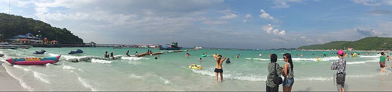
| Description | Ta Wean Beach | ||
| Date | Taken on 23 October 2012 | ||
| Source | https://web.archive.org/web/20161025174202/http://www.panoramio.com/photo/81087478 | ||
| Author | bhachara | ||
| Permission (Reusing this file) |
This file is licensed under the Creative Commons Attribution-Share Alike 3.0 Unported license. Attribution: bhachara
|
||
| Tags (from Panoramio photo page) | Amphoe Bang Lamung |
| Camera location | | View this and other nearby images on: OpenStreetMap |
|---|
File history
Click on a date/time to view the file as it appeared at that time.
| Date/Time | Thumbnail | Dimensions | User | Comment | |
|---|---|---|---|---|---|
| current | 00:49, 20 January 2017 | 4,546 × 1,071 (891 KB) | Panoramio upload bot (talk | contribs) | == {{int:filedesc}} == {{Information |description=Ta Wean Beach |date={{Taken on|2012-10-23}} |source=http://www.panoramio.com/photo/81087478 |author=[http://www.panoramio.com/user/7232203?with_photo_id=81087478 bhachara] |permission={{cc-by-sa-3.0|bha... |
You cannot overwrite this file.
File usage on Commons
There are no pages that use this file.