File:TT-Line routes.png
Jump to navigation
Jump to search
Size of this preview: 447 × 599 pixels. Other resolutions: 179 × 240 pixels | 506 × 678 pixels.
Original file (506 × 678 pixels, file size: 237 KB, MIME type: image/png)
Captions
Captions
Add a one-line explanation of what this file represents
Summary
[edit]
| Description |
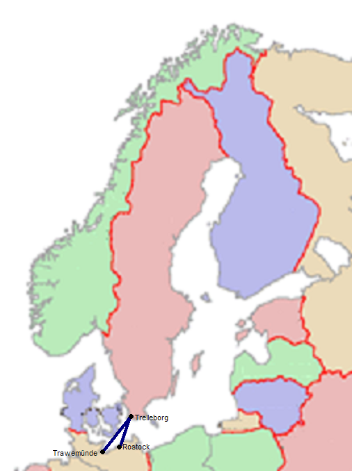
Svenska: TT-Lines destinationer |
| Date | |
| Source | Swedish wiki |
| Author | sv:Användare:Sander |
| Other versions |
 |

|
Permission is granted to copy, distribute and/or modify this document under the terms of the GNU Free Documentation License, Version 1.2 or any later version published by the Free Software Foundation; with no Invariant Sections, no Front-Cover Texts, and no Back-Cover Texts. A copy of the license is included in the section entitled GNU Free Documentation License. |
| This file is licensed under the Creative Commons Attribution-Share Alike 3.0 Unported license. | ||
| ||
| This licensing tag was added to this file as part of the GFDL licensing update. |
File history
Click on a date/time to view the file as it appeared at that time.
| Date/Time | Thumbnail | Dimensions | User | Comment | |
|---|---|---|---|---|---|
| current | 13:02, 2 September 2005 | | 506 × 678 (237 KB) | Fred J (talk | contribs) | * From Swedish wiki * Made by sv:Användare:Sander, 2004 * '''sv''' TT-Lines destinationer {{gfdl}} Category:maps of Sweden Category:Rostock Category:Trelleborg Category:Travemünde |
You cannot overwrite this file.
File usage on Commons
The following page uses this file:
File usage on other wikis
The following other wikis use this file:
- Usage on ar.wikipedia.org
- Usage on en.wikipedia.org
- Usage on es.wikipedia.org
- Usage on it.wikipedia.org
- Usage on sv.wikipedia.org